Ever since
Jeff, Nancy & I
rode Passage #20 of the
Arizona Trail I've been clamoring for a chance to check out Passage #19. They're neighbors after all, separated by a desert river. I had high hopes, but tempered them due to the nature of the AZT. Trail beta was hard to come by as well. I put together a route that would be a loop with an out-n-back up to the Wilderness boundary in the Superstitions.
Another reason for this scouting trip was to see if a viable alternate route existed for inclusion in the
AZTR750. The central AZ portion of the route has a ton of road miles, both paved & dirt, to avoid the numerous Wilderness areas. So, adding some of the AZT would be a good thing, right?
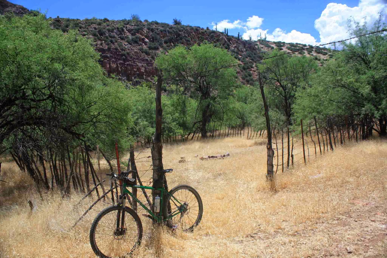
A few of us tried to do this route a week earlier, but at the eleventh hour my bike had other ideas. This go-round left me with no riding partners, a solo adventure into 'uncharted' territory - how cool!!
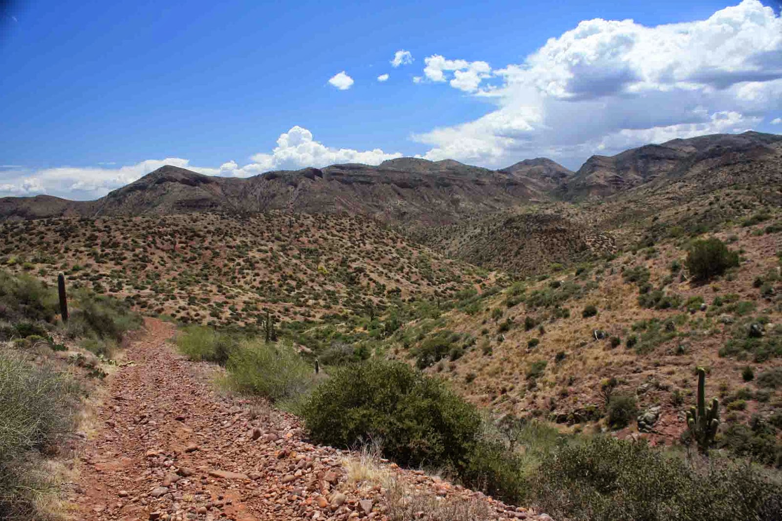
I slept in a bit longer than I would have liked, but I needed the rest. I arrived at Roosevelt Lake and was pedaling across the bridge around 9am. The first order of business was a 6+ mile stretch along the Apache Trail, not much of a trail, rather a graded/washboarded dirt road. It's quite an impressive area, rugged mountains & canyons all around leading down to the azure waters of the Salt River as it turns into Apache Lake.
 |
| Roadside pullout marking the transition from Passage 19 to 20. |
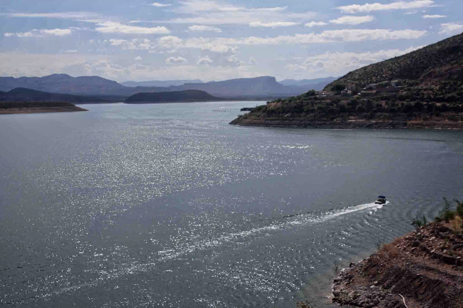 |
| Not many boats on Roosevelt Lake in the early hours. |
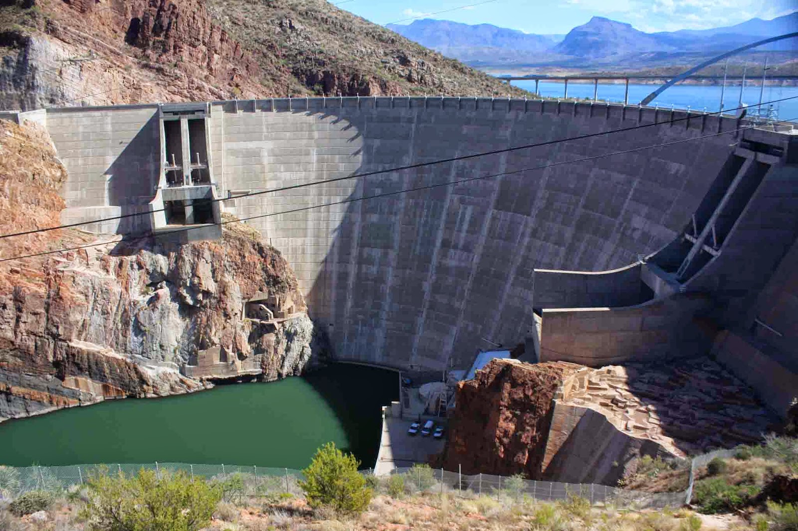 |
| Roosevelt Dam. |
 |
| My view for 6+ miles, not bad, eh? |
My later start also meant there would be a bit more traffic on AZ88 stirring up dust on this holiday weekend. It wasn't too bad except it always seemed a vehicle would pass me while I was trying to fill my lungs with air on a climb!! AZ88 is anything but flat, undulating over a couple decent climbs before my split onto FR49.
 |
| Snack break & on to the road less traveled. |
As the above pic clearly shows, FR49 starts off really nice. The grade is gradual as the mountains approach, but the sand intensifies not to the point of walking, but enough to let you know it's there. About 1 mile later there's practically a line drawn in the sand boldly challenging any rider to cross. Of course I crossed it, I'm a dumb mountain biker who likes a good adventure!! Let the hike-a-bike, HAB, commence!!
 |
| I didn't last very long trying to ride up this, even in HAB mode it was tough going. |
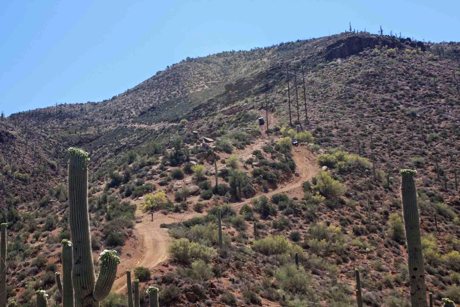 |
| The only people I saw all day, 3 ATV'ers coming down where I need to go. |
 |
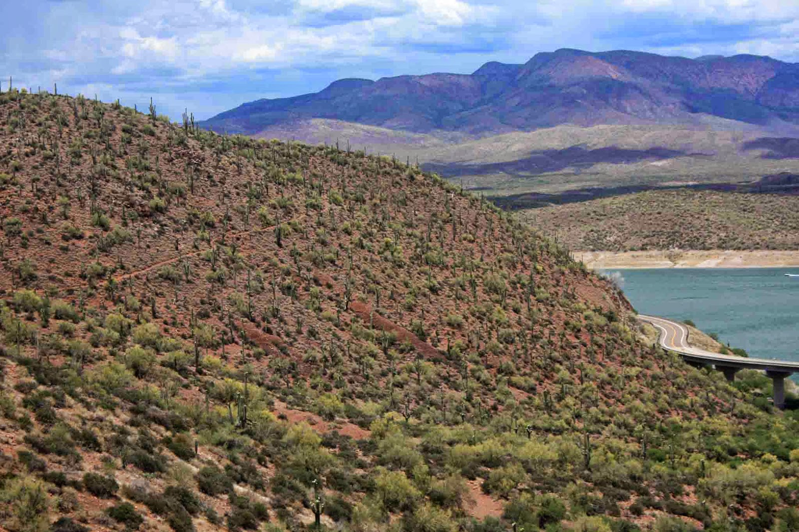
| Gaining elevation rapidly, well as fast as I could walk anyway. Apache Lake, AZ88 & FR49 snaking through the desert. |
 |
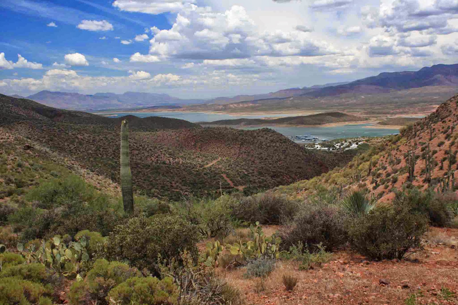
| My first peek at Roosevelt Lake from high above. |
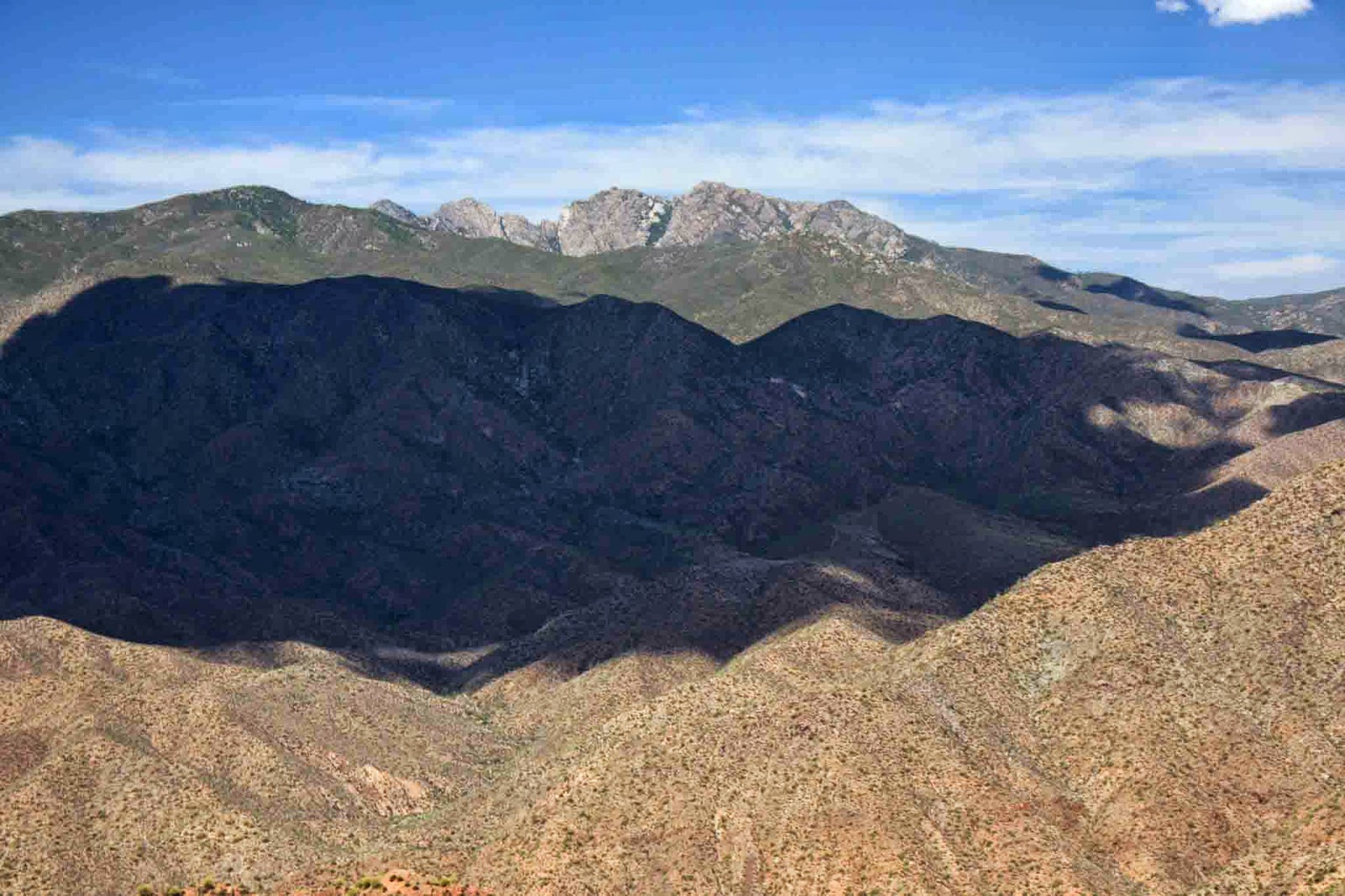 |
| Four Peaks don't look as impressive from this angle. |
 |
| The beginning of a long rubbly descent, I washed out once on this downhill. |
 |
| Down, down, down, making my brake pads smoke as I near the AZT. |
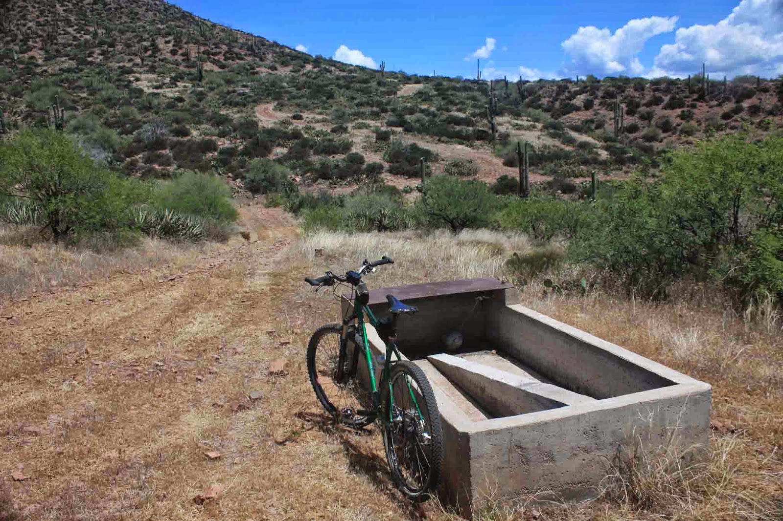 |
| Third trough I passed, nary a drop. |
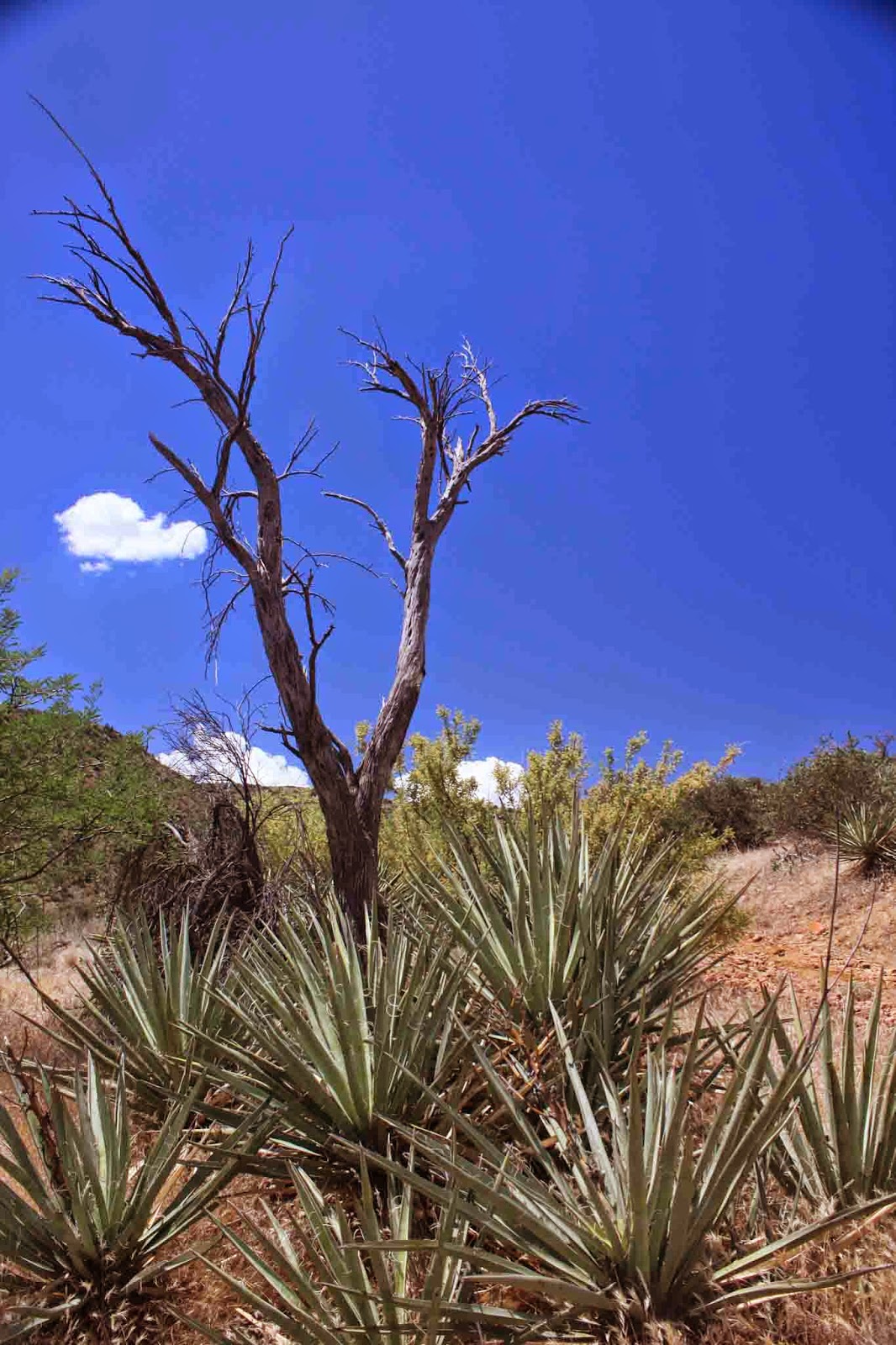 |
| Giant wishbone...I wish for some rideable singletrack!! |
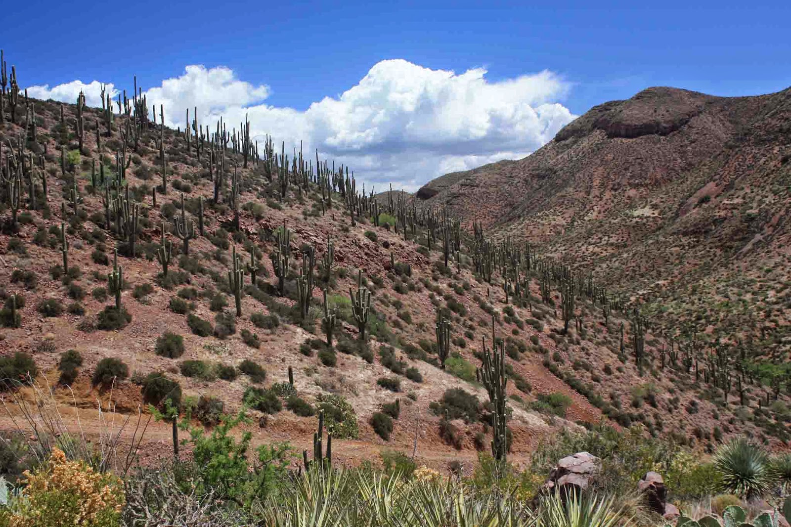 |
| The final rock-surfing descent to the AZT had this cool Saguaro forest covering the hillside. |
The jeep road shitshow finally leveled out as I rendezvoused with the AZT at Cottonwood Creek. As is typical in Arizona, just because it says creek on the map doesn't mean there's water in it!! Cottonwood Creek was no exception, dry as a bone. However, there was water in the metal tank where I met the trail.
By now I had given up on my plans to ride up the AZT for 4 miles to the Wilderness boundary. The few reports I obtained of the area indicated the tough nature of the trail through this area. I did wander up the trail on foot to see what it looked like. It was overgrown with catclaw in places and the trail had some boulder obstacles to overcome. I was content with my decision to cut the ride a bit short in hopes the lower section would turn out much better than my jeep road approach.
 |
| I decided to not venture south from here. |
 |
| Nice little oasis in the backcountry. |
 |
| Plenty of water here. |
After a quick snack I was heading north on the AZT....on jeep roads once again. They were a bit more manageable in the beginning, but soon they too pointed sharply downhill. For the third time on this ride I laid the bike down when my front tire drifted sideways trying to stay on a line through the chunder. It was hard walking down some of the pitches, I dodged a few turned ankles for sure.
 |
| The start of a few up & downs near Roosevelt Lake. |
 |
| Finally!! I get to ride singletrack. |
I only had a few miles to go and I was about to ride singletrack for the first time today!! It started out good and I began thinking how people could ride passage #20 then come over to #19 and at least make a short loop that included this singletrack. My plans were dashed quickly as the trail surface deteriorated and the grade became too steep to ride. More HAB please.
 |
| The only bailout along the singletrack piece. |
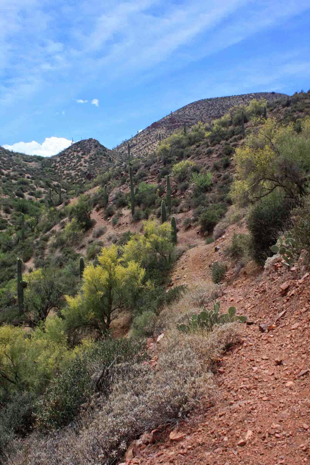 |
| Off camber, steep, loose & narrow in spots had me walking a lot. |
 |
| At least the views of the lake were good. The shameful HAB down.... |
 |
| A rare treat here, a nice climb! |
 |
| It was short-lived yet again due to steepness. |
 |
| This photo turned out cool, as the curve of the road gives in an almost fisheye feel. |
 |
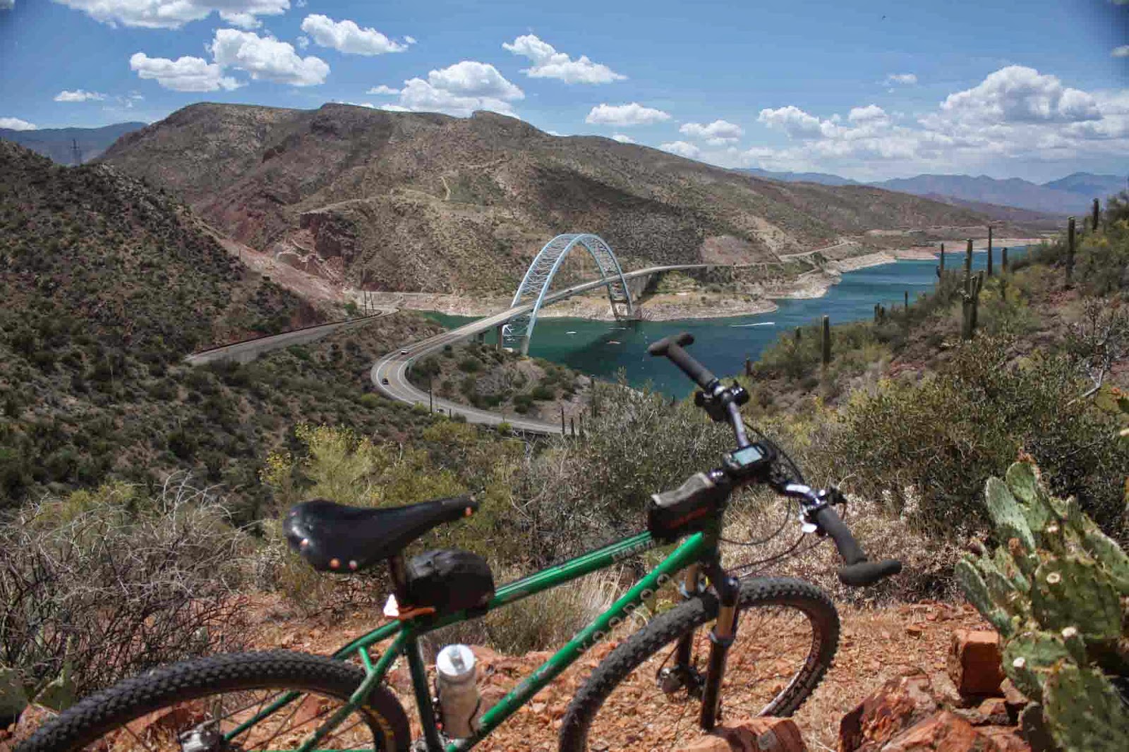
| First sighting of Roosevelt Bridge and the finish. |
 |
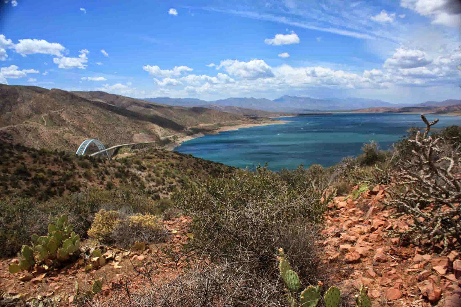
| Beautiful overlook at the top of the final descent. |
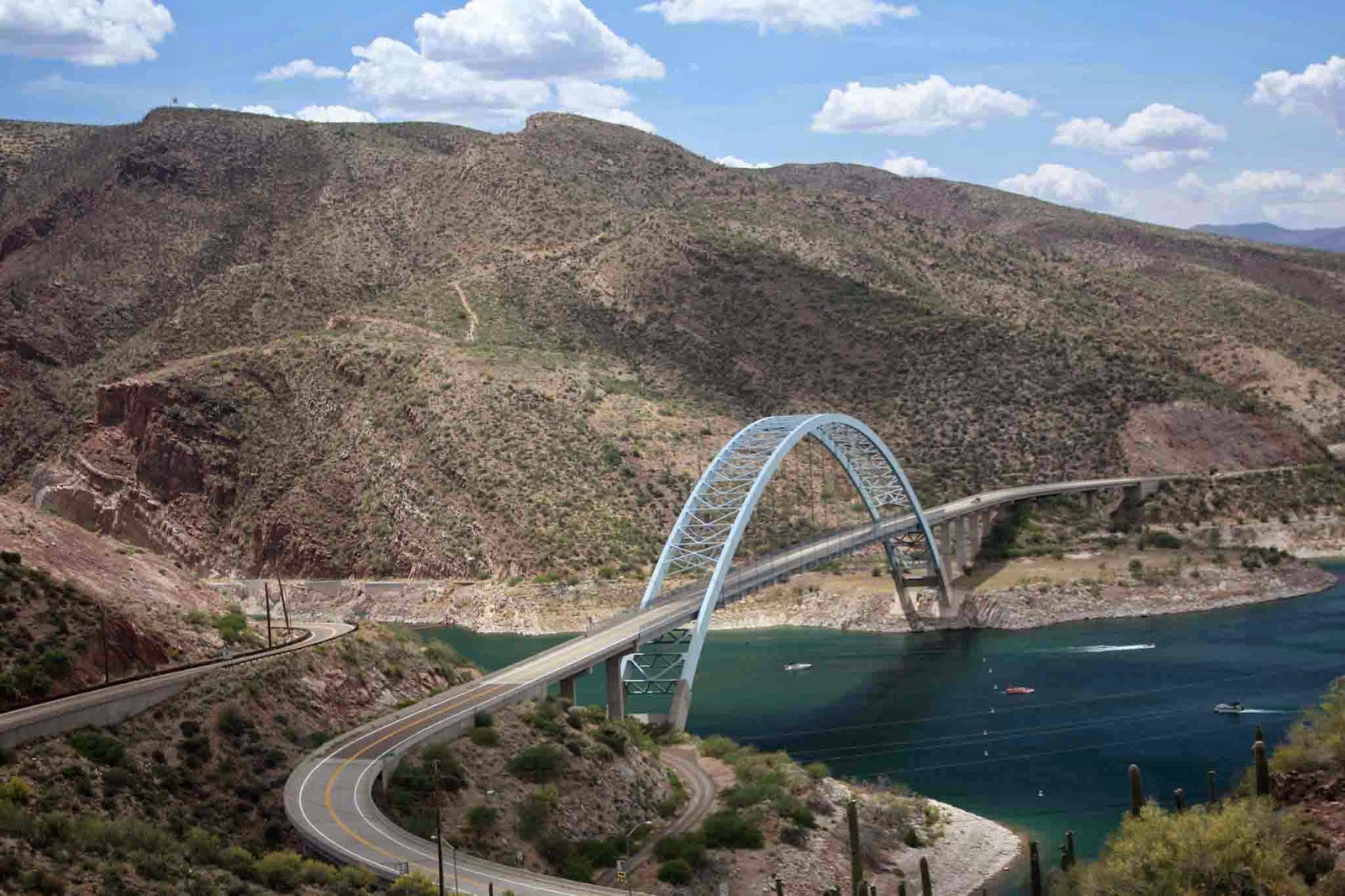 |
| A truly magnificent structure. Passage #20 winds down the far ridge and the microwave reflector can be seen on the upper left ridgeline. |
 |
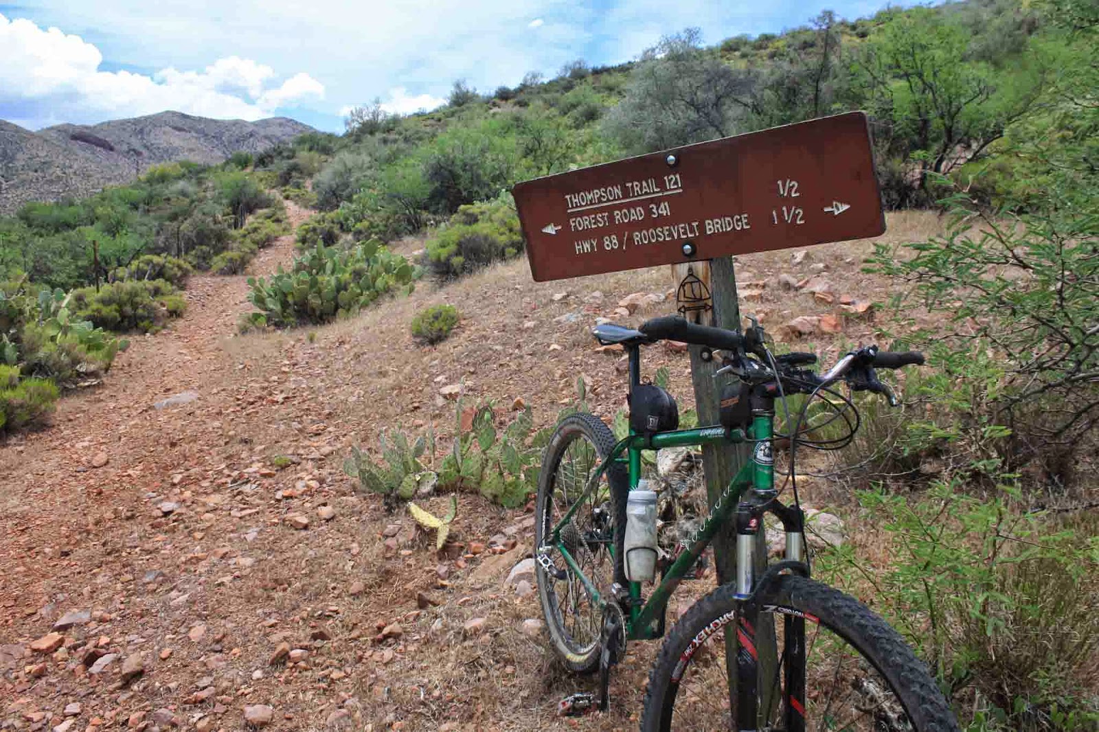
| AZT sign marking the end of the dirt trail for passage #19. |
 |
| Starting across the bridge. |
I was glad to put this ride behind me, once was enough. 17 miles and only 2 of those were on skinny trail...and I walked half of that!! The views were spectacular though, but this passage does not belong on the AZTR750 route. Perhaps #21 & #22 will make up for it?? We'll see.....
No comments:
Post a Comment