I knew there would be a scheduling conflict when I advertised my 4-day bikepacking loop, the 24 hours in the Old Pueblo was also going down that weekend. I also knew most of my bikepacking friends aren't really in the pay-to-race crowd, but the 24HitOP is a fun event nonetheless. In the end the locals balked, but I was able to round up two others, both from CA, to join me on my annual loop from home. Evan and I have done a few bikepacking rides together over the years, so it was really good to see him come over from San Diego. Chris stumbled onto this ride online, hadn't done any bikepacking, but really wanted to check out the AZ trails. Turns out, Chris knew some of my
old skool riding pals from PA thanks to
S&M bikes, small world, huh?
Day 1: East Valley Traverse
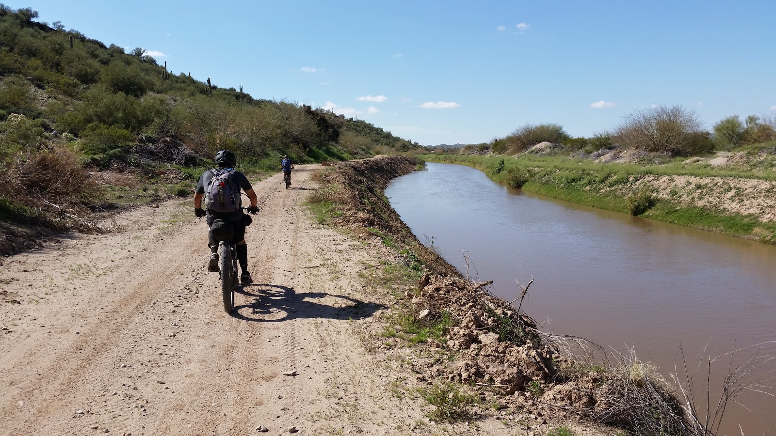
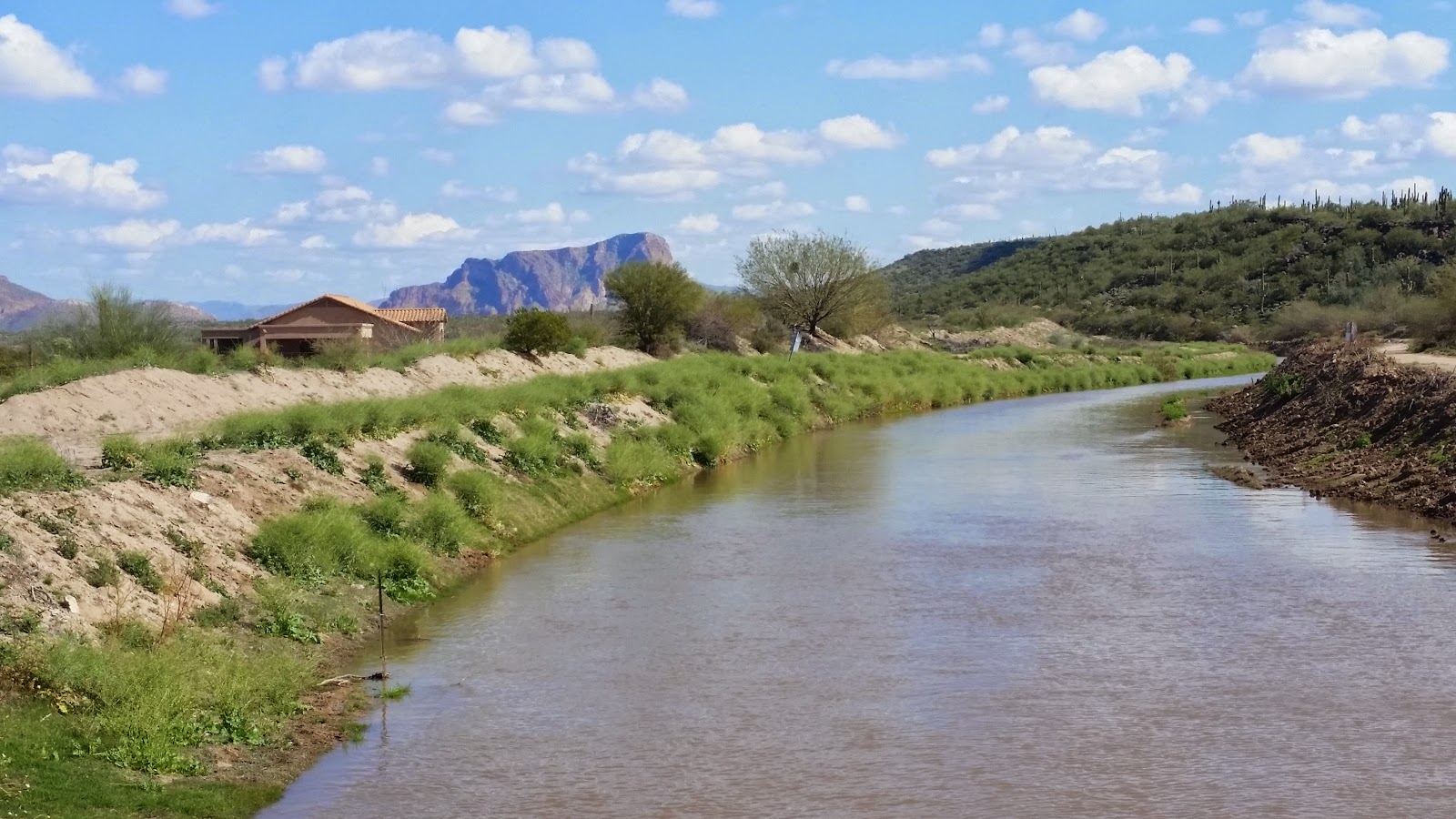
Bikes & gear loaded, we met at my place and rolled out practically on time! A short spin through my neighborhood and we soon popped onto the greenbelt heading north.
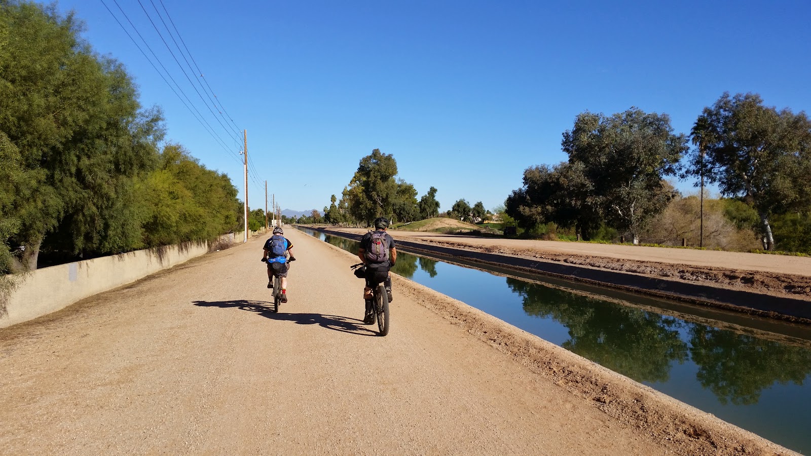 |
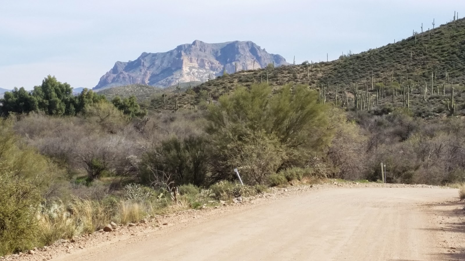
| Of the first 21 miles to singletrack only 6 were paved. |
As we neared the Hawes trail network I let the guys in on a little secret: Desert Trail Park. This is the new skills park in Mesa with jump lines, skills area and pumptrack. It also happened to be right on route.
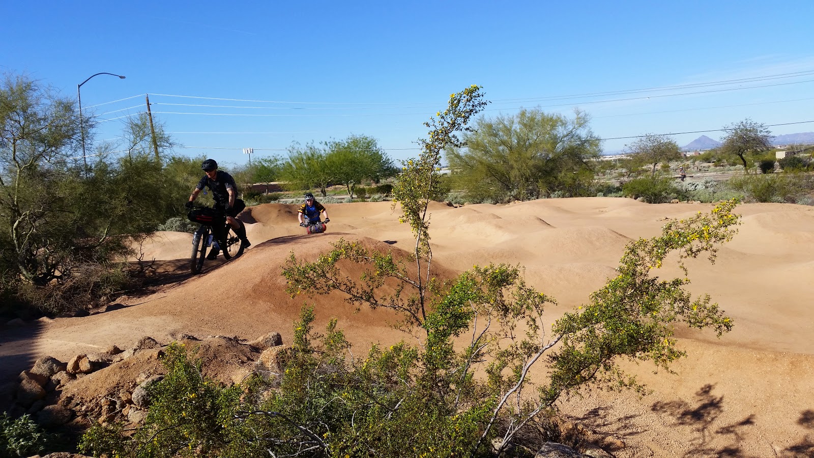 |
| Chris & Evan working the pumptrack. |
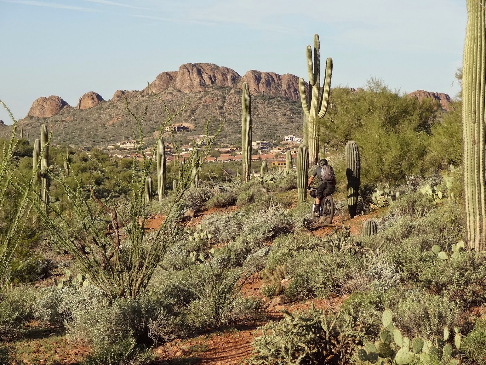
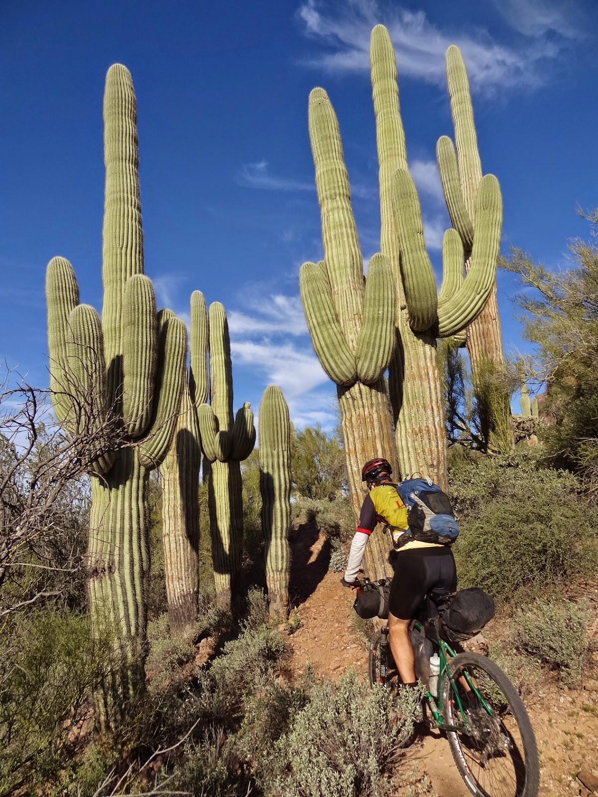
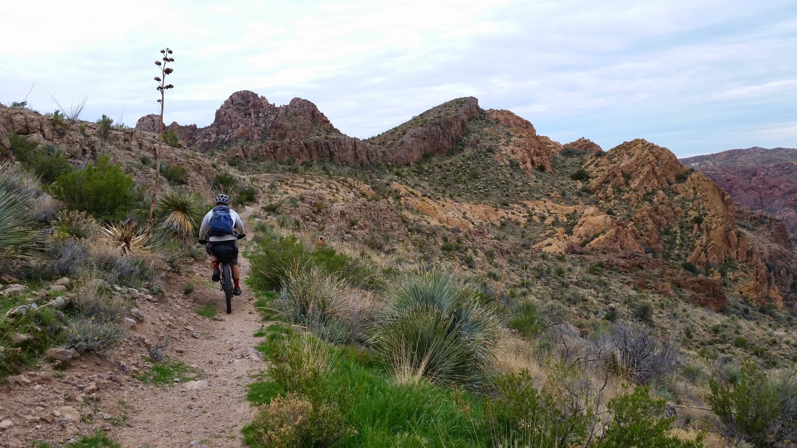
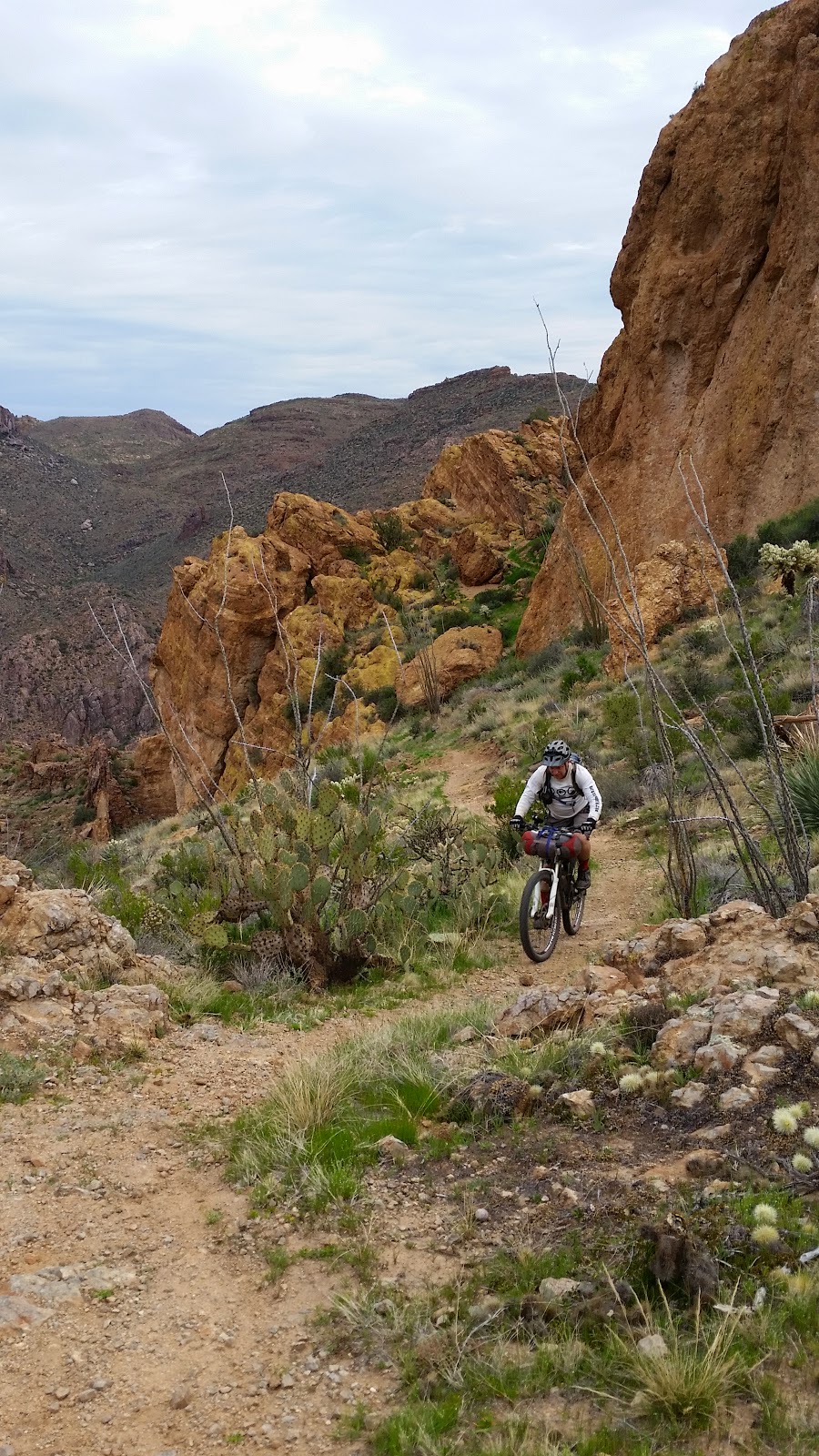
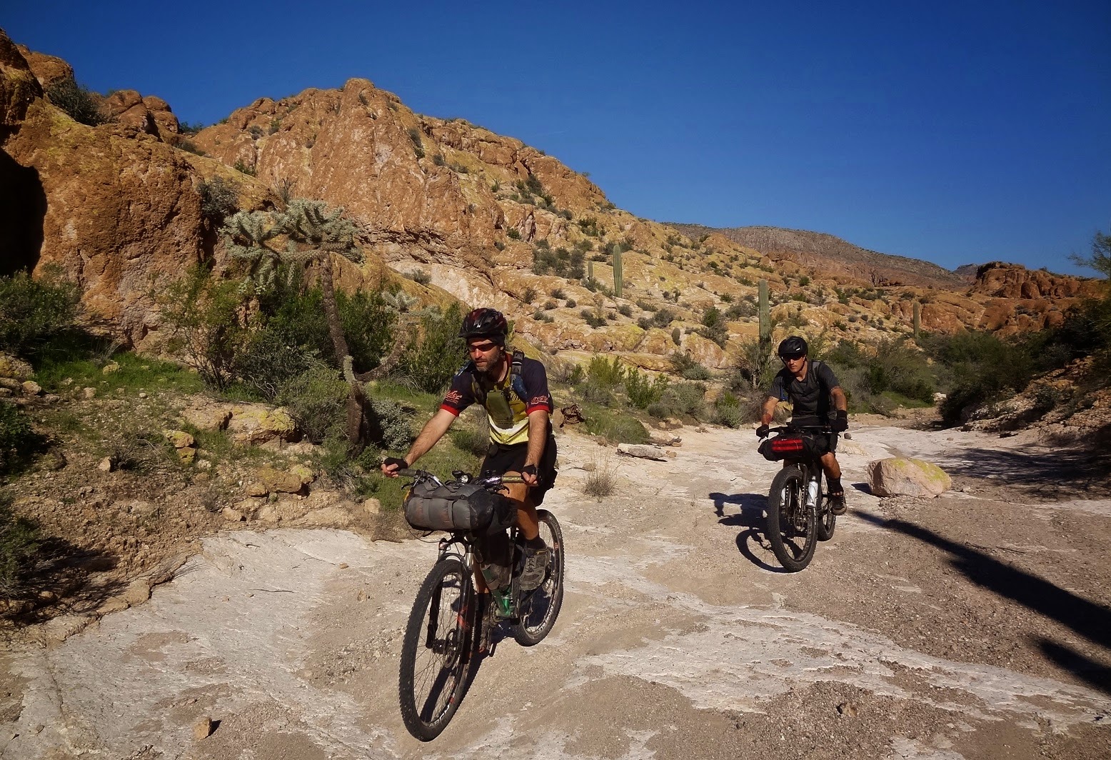
We were set to embark on the singletrack portion of the route, some of my local favorites too. I modified the track slightly this year to up the fun factor, no need to beeline through the Hawes trails. I led the guys through most of the classic lines on our way over to Pass Mtn.
 |
| Time to depart the sea of tile for a few days. |
 |
| Our one view of the Salt River. Photo by Evan (EV) |
 |
| Crystal clear views along Wild Horse trail. |
 |
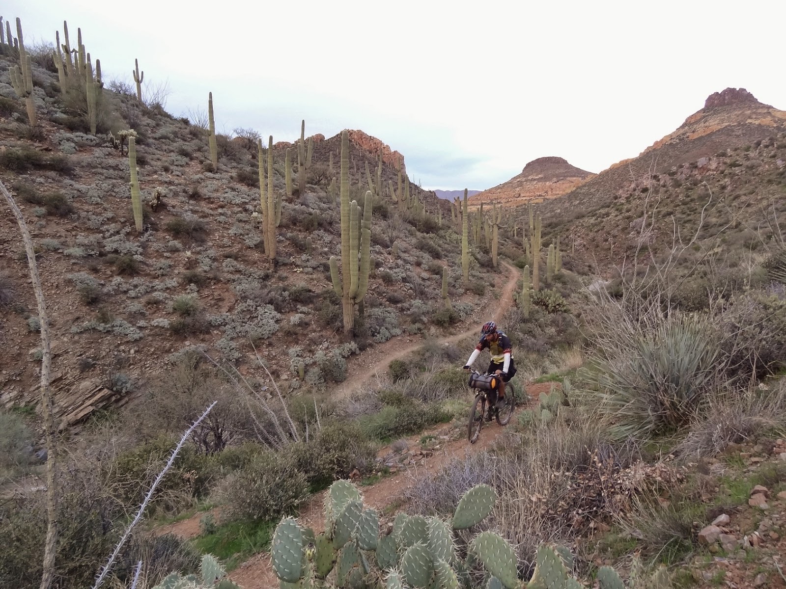
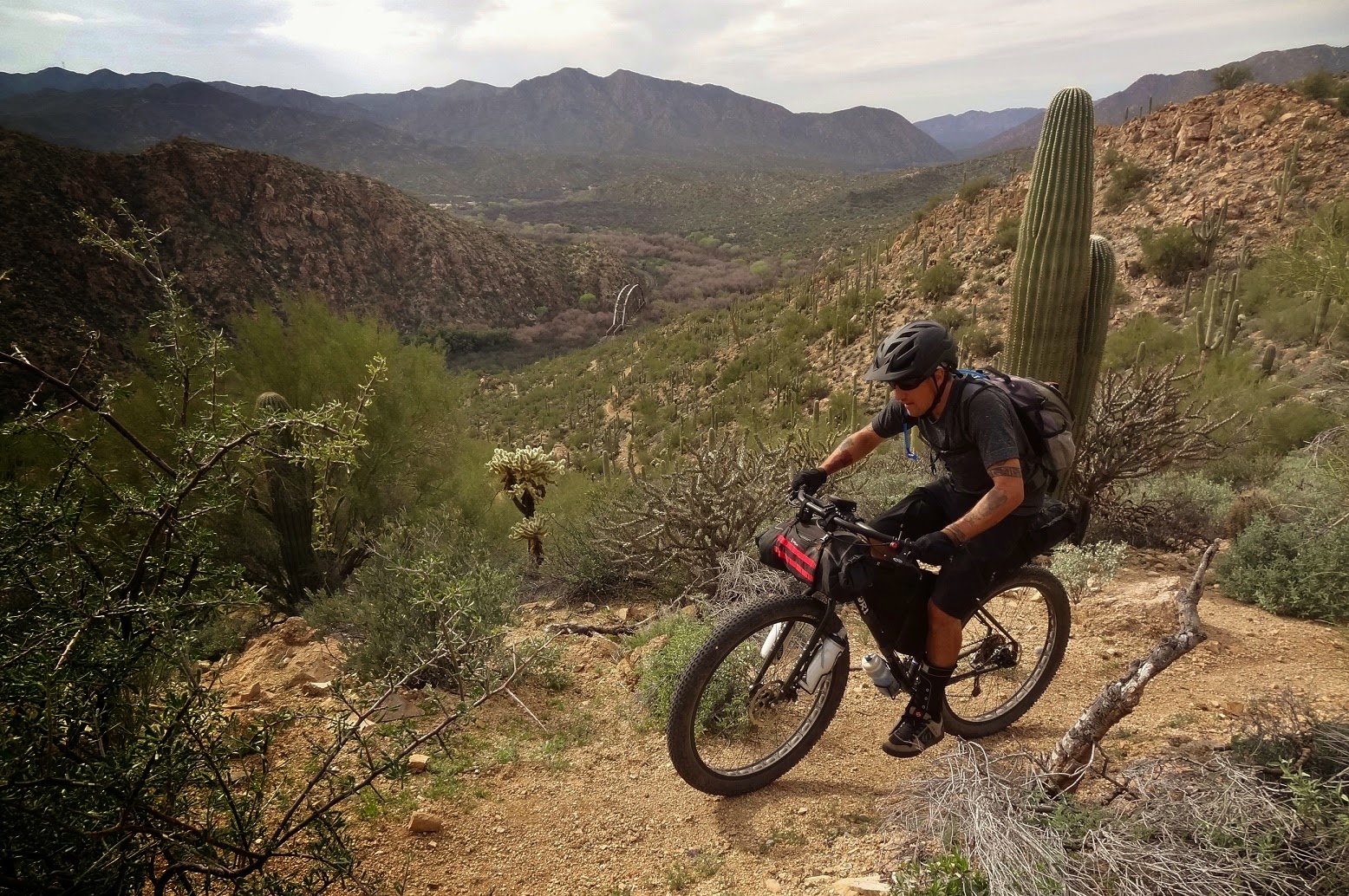
| Chris on his 29+ behemoth. EV |
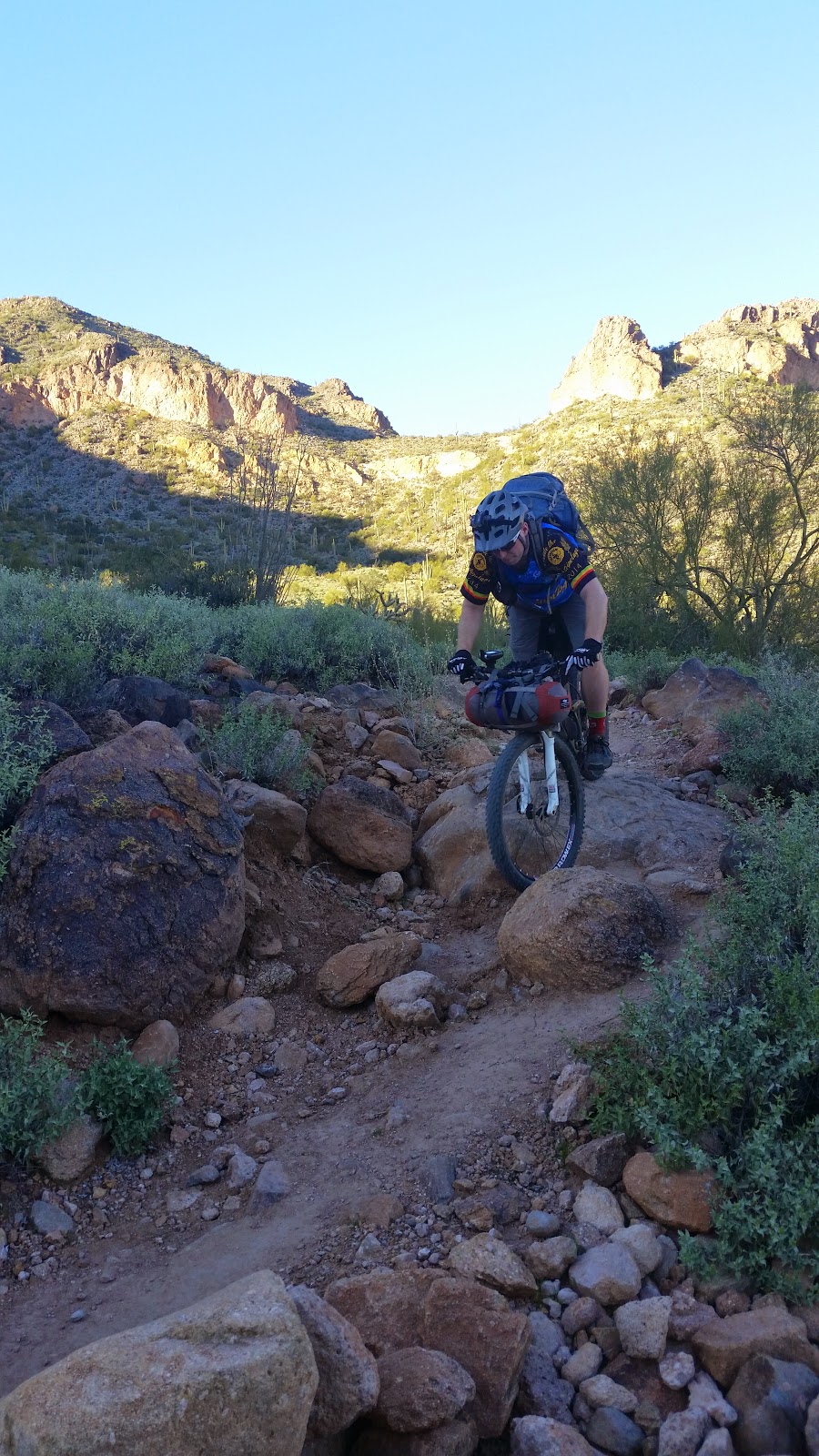
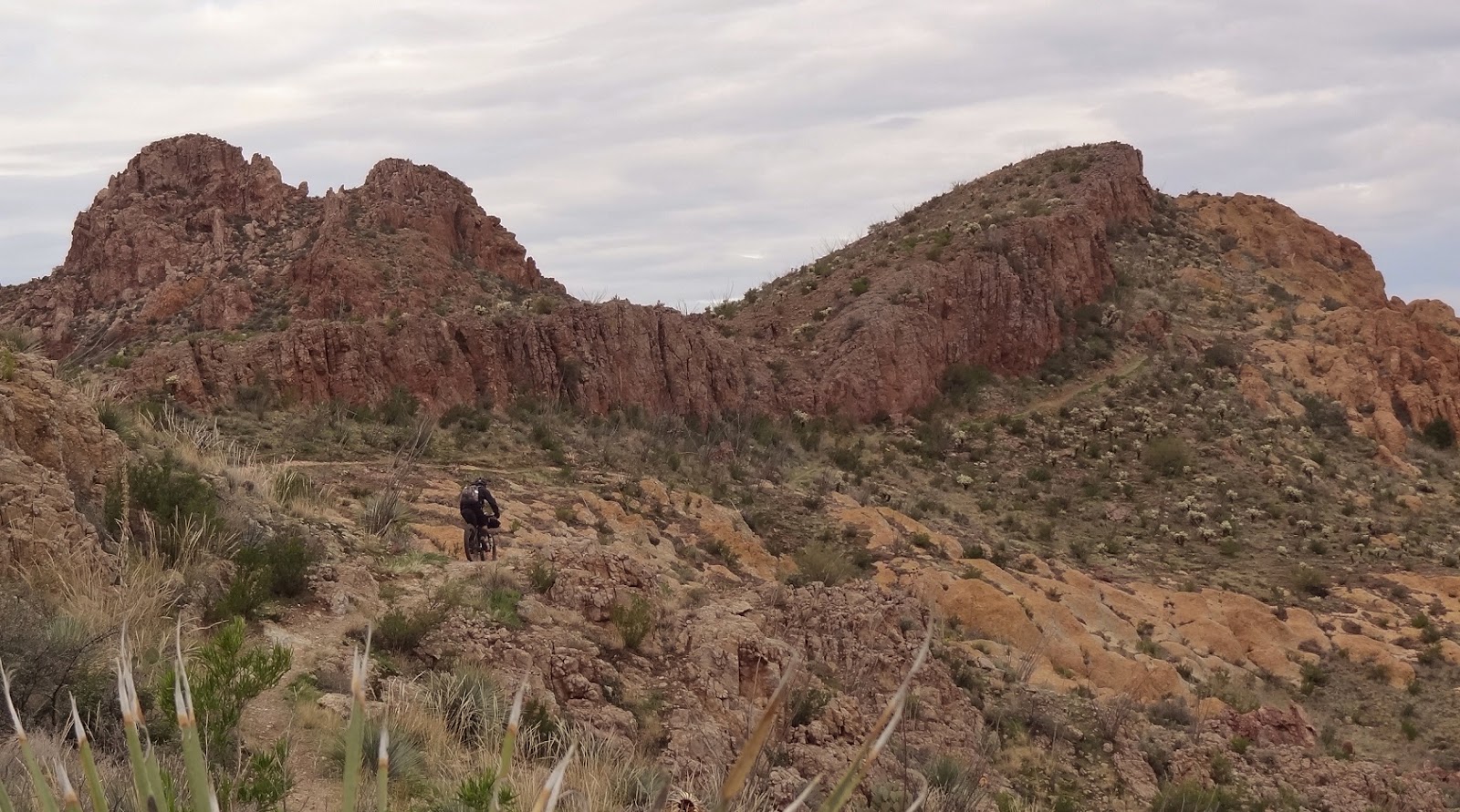
It was a warm start to the ride so we opted for a quick detour to the shooting range for cold water / soda machine / snacks. This gave us time to refuel prior to the days biggest effort: Pass Mtn. We'd be entering via the side door wash, then up the scenic north side to the saddle. The chunky downhill will rattle your fillings loose if you grit your teeth too hard!!
 |
| Visual flight rules. |
 |
| Evan climbing the side door entry. |
 |
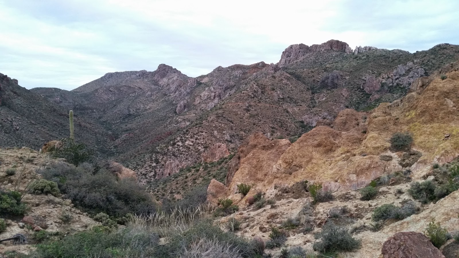
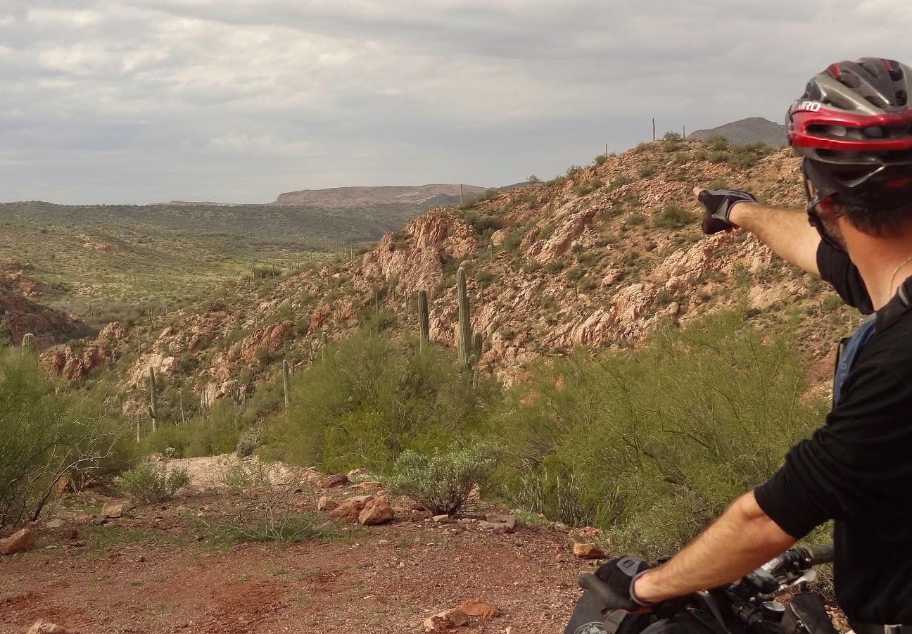
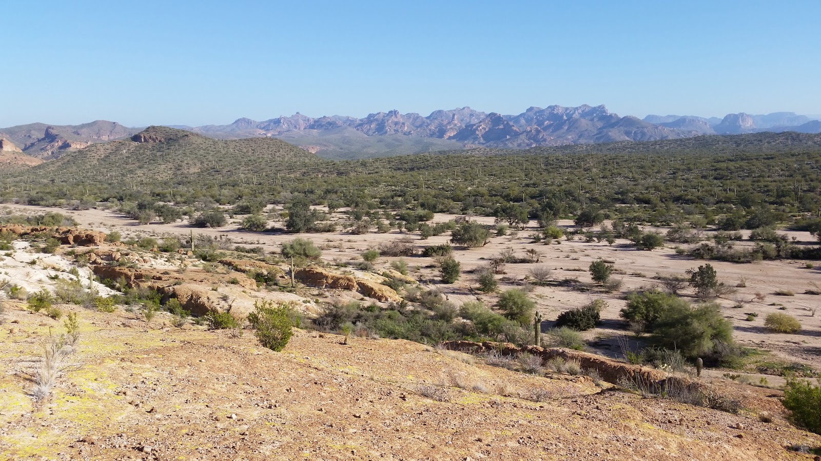
| The NE side of Pass Mtn offers mind blowing views of the Four Peaks & Bulldog Canyon. |
 |
| Chris chugging away up to the saddle. EV. |
 |
| I begin the descent on Pass Mtn. EV. |
 |
| Pass Mtn. scar, we tried, but didn't clean it. |
 |
| Our goal for the evening still a long way off on the horizon. |
 |
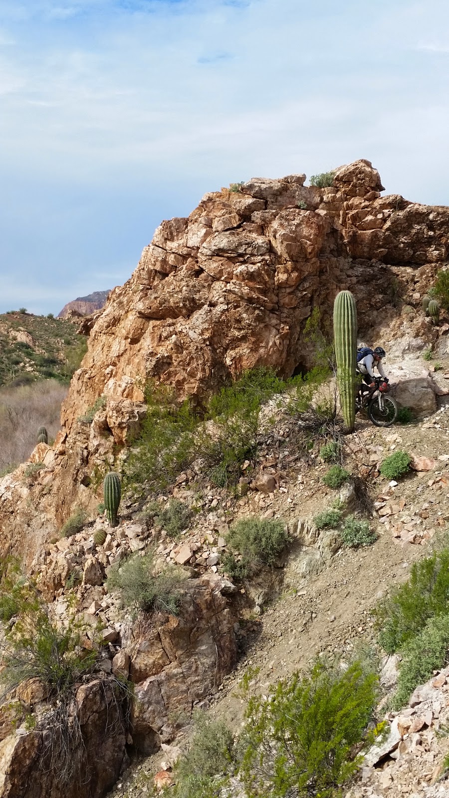
| Chunk, chunk and more chunk. |
We re-grouped at the Pass Mtn. exit spur all a bit relieved we made it through the gauntlet of rocks unscathed. A few fast trails and some pavement awaited before we linked into the Goldfield Mtns.
 |
| A swath of equestrian trails on this county island. Superstition Mtns standing guard. |
 |
| We were chased into the Goldfield trailhead by a loose dog, who nipped at Chris as he tried to pass by. |
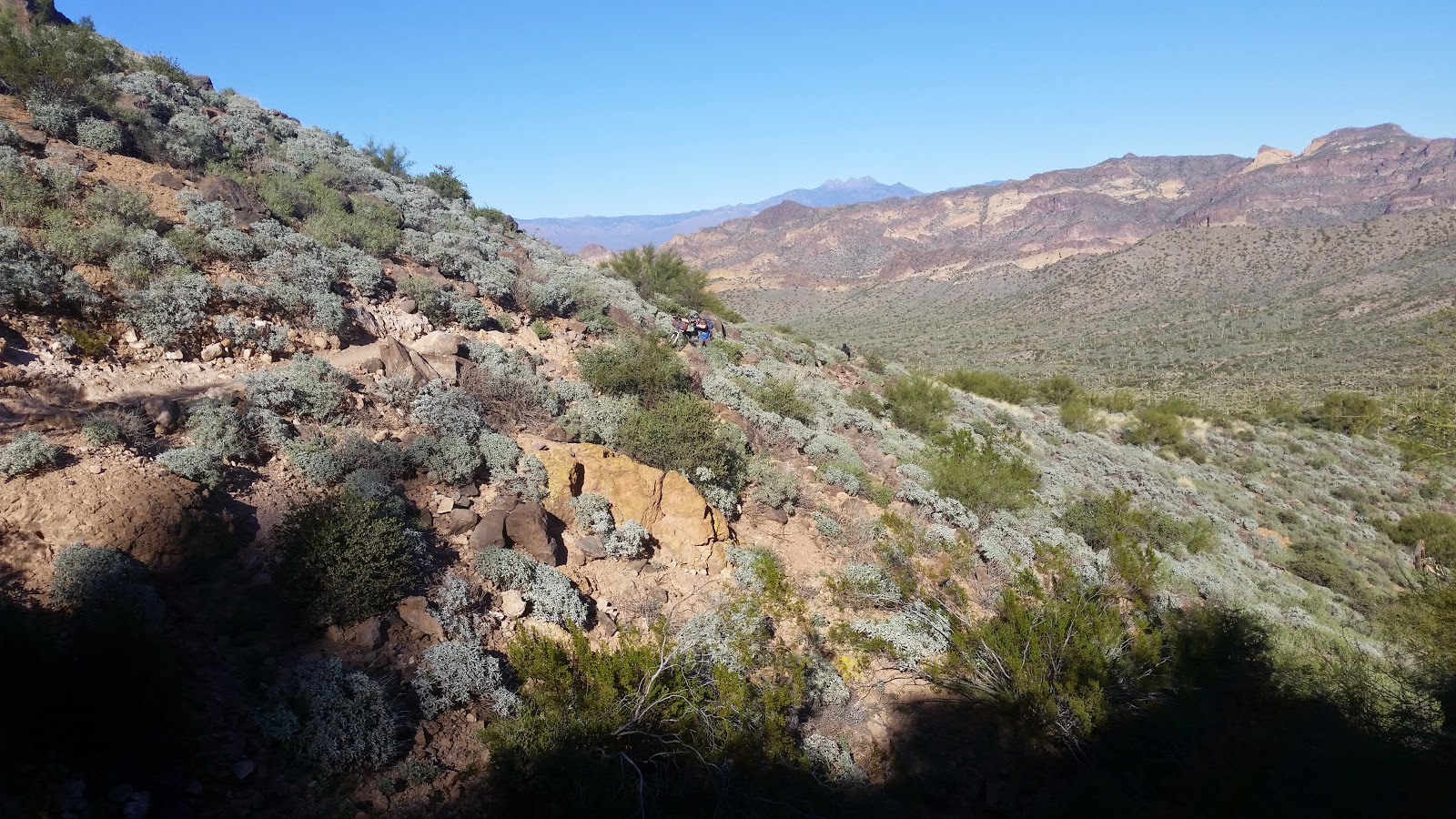
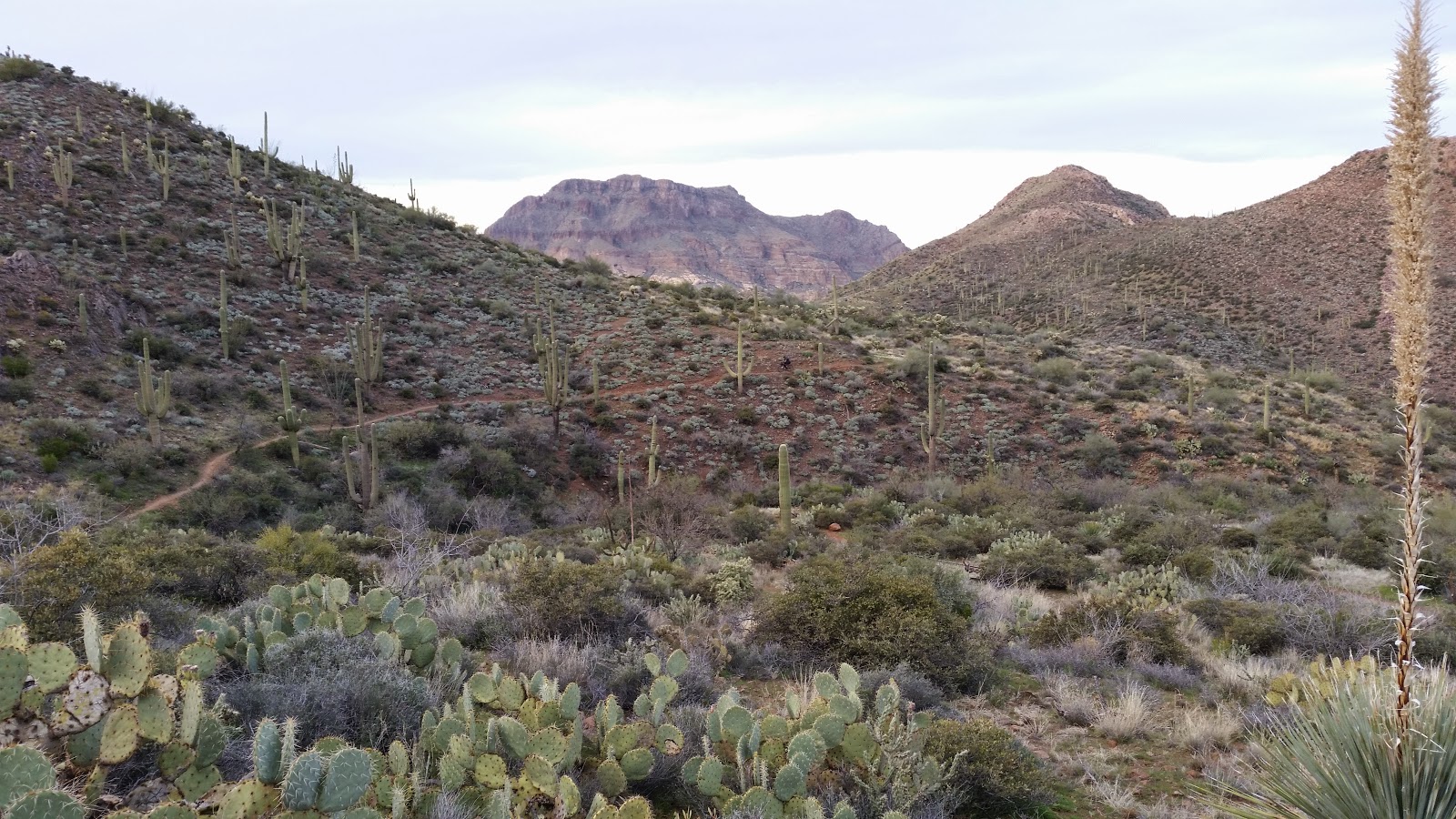
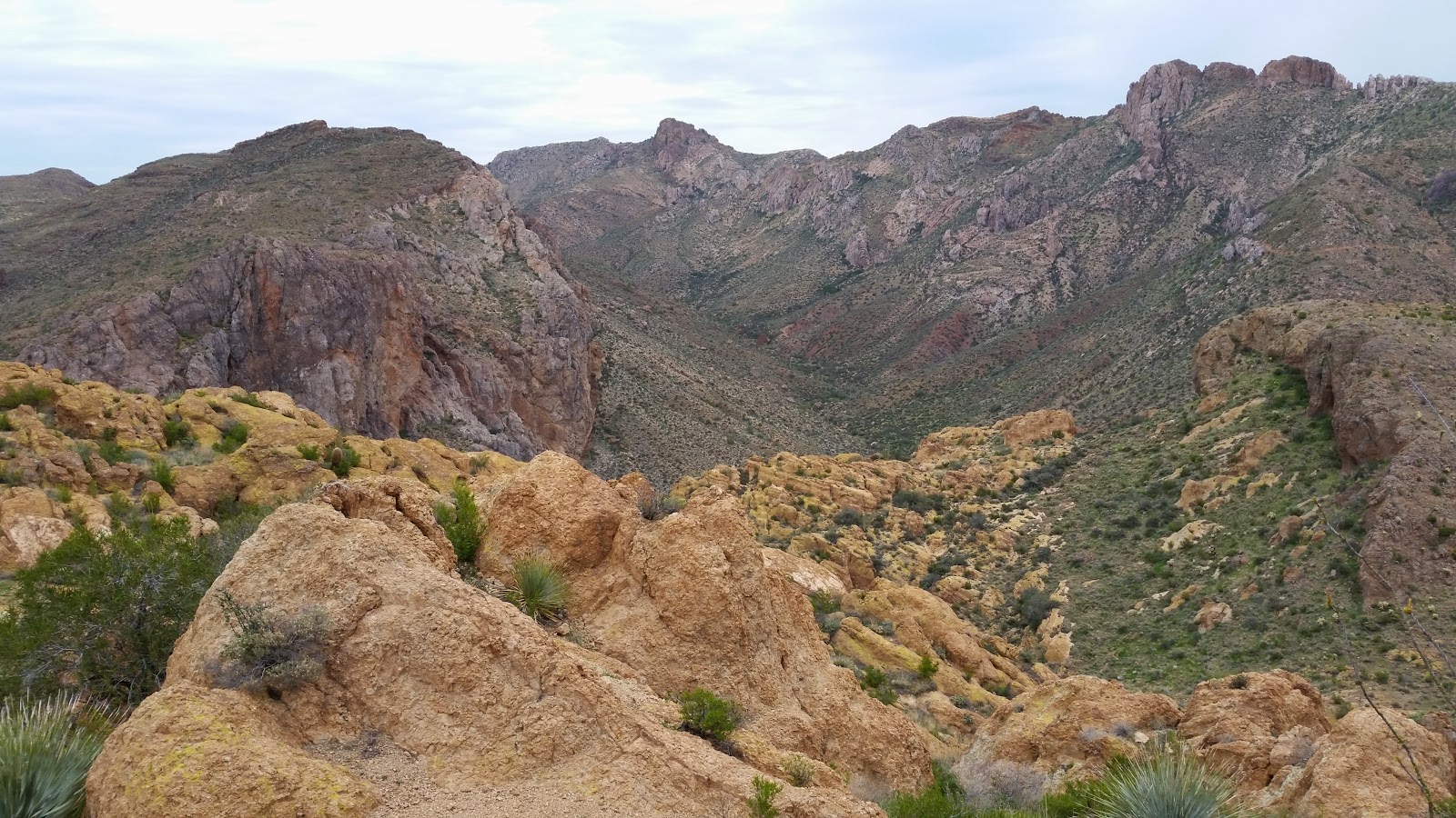
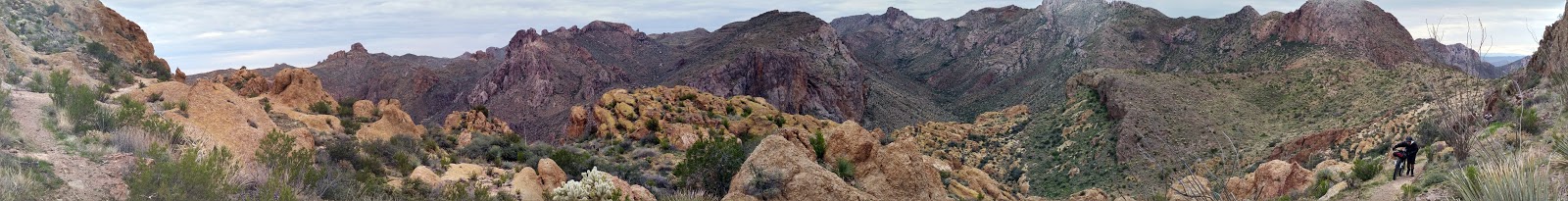
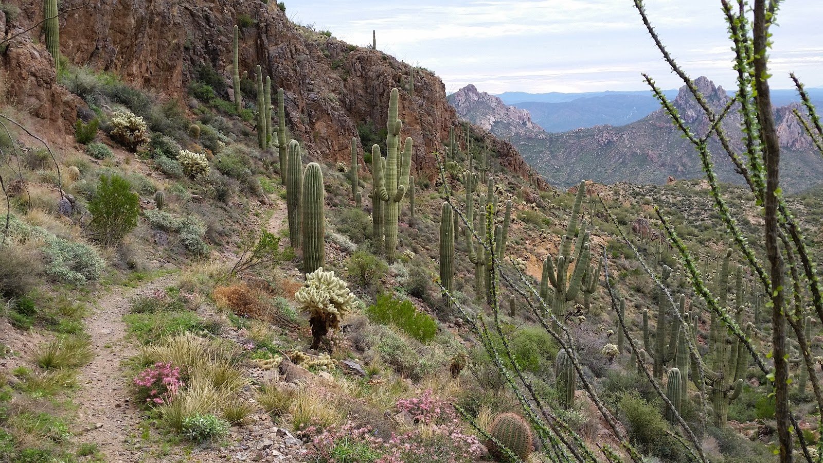
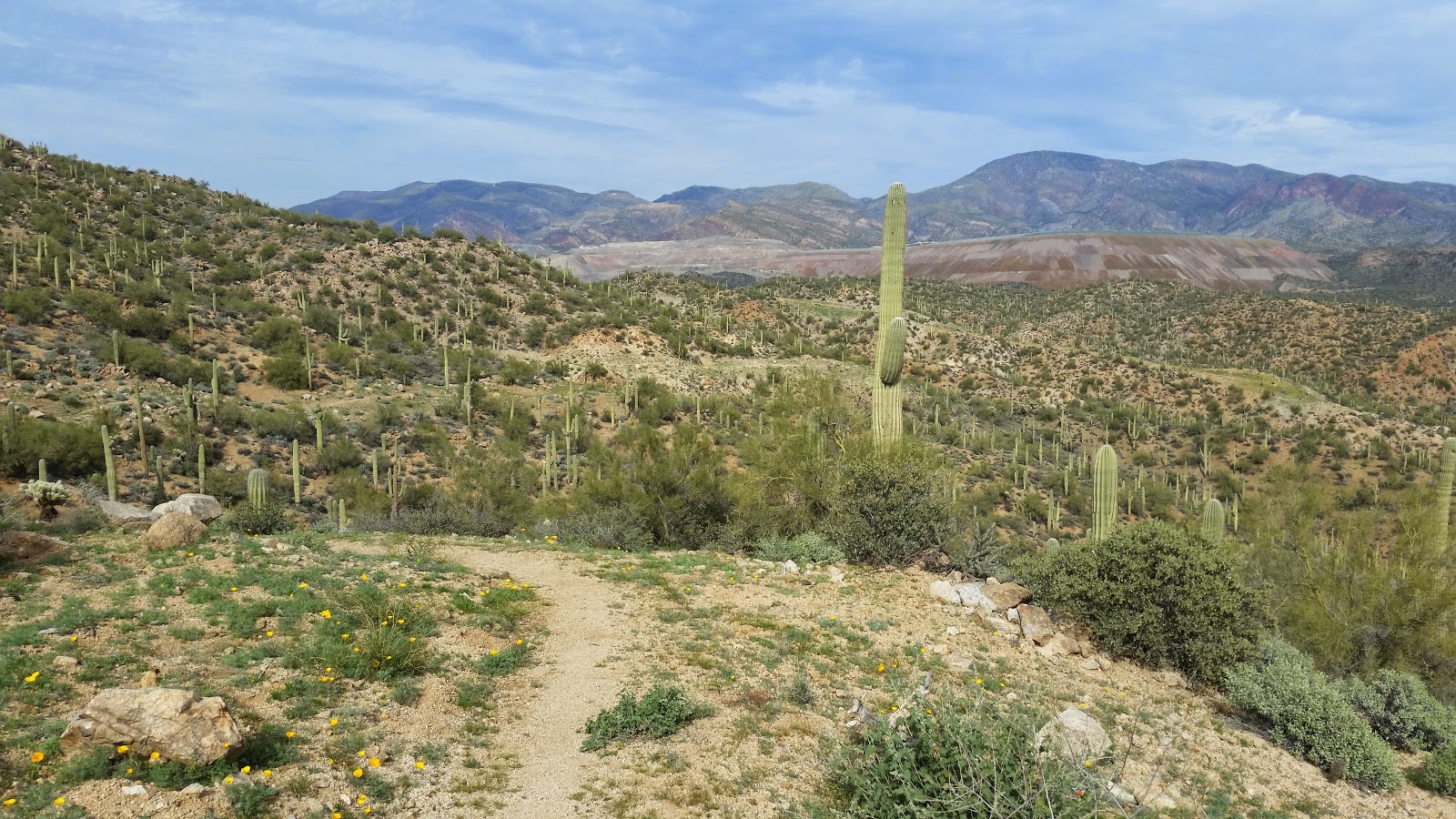
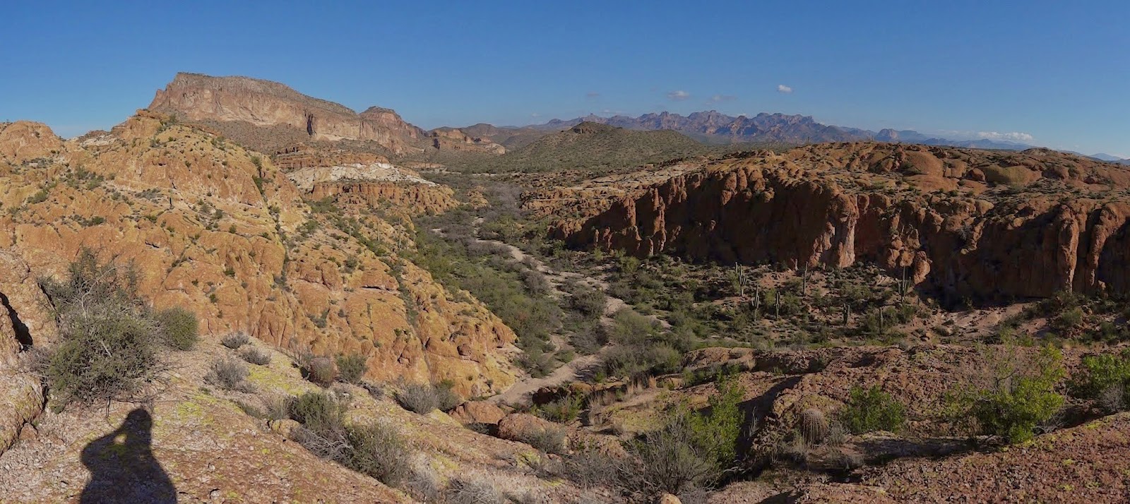
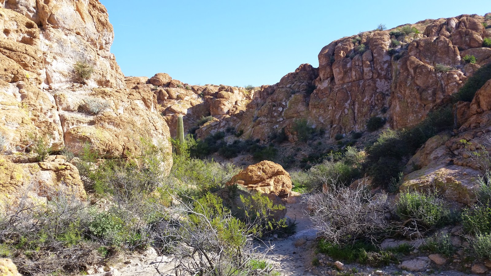
The Goldfield Mtns. are a wonderfully underutilized area. They sit on Tonto Nat'l Forest land, jeep roads take you deep into the heart of the mountains, but a watchful eye will spot an occasional singletrack trail darting off into the colorful hillsides. So much potential here. It's rugged, raw and absolutely stunning. We were getting an extra treat on this day: golden hour was fast approaching.
 |
| If only more jeep roads were like this. EV. |
 |
| It's like I'm riding into a postcard. EV. |
We started to pick up the pace a bit as we hoped to make it onto the Jacob Crosscut trail before sunset. As luck would have it, Chris snapped his chain on one of the final singletrack stretches in the Goldfields.The sun dipped below the horizon by the time we were ready to move along. We zigzagged out of the Goldfields onto the Jacob Crosscut trail under darkness. The JC trail gets progressively more difficult as you ride south, it made for some fun night riding!
I wasn't sure how much night riding we'd do on the loop, time to give my dynamo setup a test! It worked flawlessly, but I do need to use the extended mount when bikepacking as the sleeping bag compromises the near light beam. A dual light setup virtually eliminates this, but I won't always have both helmet & handlebar lights available. (Until I get a USB helmet mounted light)
I got hung up on a rock step and pinned my shin between a couple of boulders, it was an awkward position to get caught in and needed a boost from Evan to break free. No damage done though and soon we made our way to the exit lane.
 |
| Leaving the Goldfields. EV. |
I led the fellas down the rubbly trail leading into an Apache Junction neighborhood. I noticed someone walking with a flashlight on the road we were about to drop into. As soon as my tire hit the dirt road this guy started yelling at us for riding bikes in the Wilderness!! Sorry, sir, but this is Tonto National Forest land where bikes are welcome. To say this individual was unpleasant and misguided would be a gross understatement. He threatened to call the Sheriff on us too!! Go right ahead, I thought, but we weren't interested in hanging around any longer. For the record, the
ENTIRE Jacob Crosscut trail is
OPEN & LEGAL to bikes. The Wildermess boundary he thought was next to his house is actually the Tonto National Forest boundary. The Wilderness boundary is higher up the flank of the Superstition Mtns. There are signs posted back in the Lost Dutchman SP trails indicating the legality of bikes on certain trails.
This was a potential addition for the
AZTR750 route. I think it would be wise to have riders skip this side entry trail to avoid conflicts with this guy. The south end of the trail at Broadway road is slated for improvements and will provide a hassle free entry/exit.
Now where were we? That's right, on fast pavement into Gold Canyon and dinner at
De La Cruz Mexican Grille!! Not only did
Phil come out to join us, he treated!! What a guy, thanks Phil!!
We made a quick re-supply stop at Basha's then opted for a direct route to our camping location atop the Vortex in the Gold Canyon trails.
Day 2: Queen Valley & the AZT
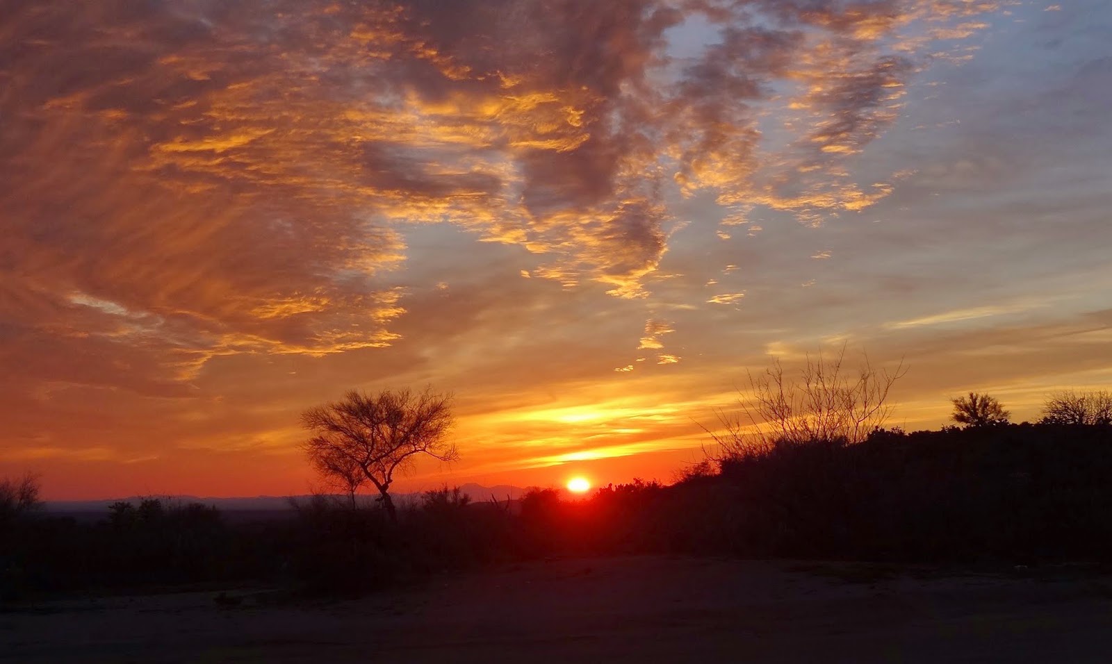
We woke to a spectacular sunrise, one of the reasons I chose the Vortex as camp.
 |
| Camp view. |
 |
| We'd skirt the edge of civilization for 4 days. EV. |
 |
| Sure doesn't look like the desert. |
 |
| Early morning stare down. EV. |
 |
| It's named 'Saguaro Squeeze' for a reason! EV. |
 |
| Evan rolling down Spider Rock. |
 |
| Chris looking huge on Micro Moab. EV. |
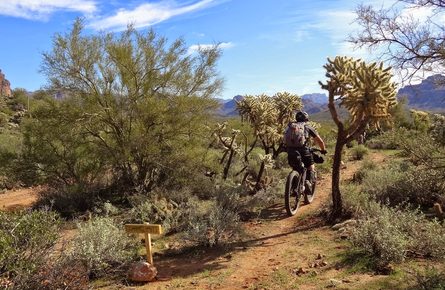 |
| Outer Limits led us out of Gold Canyon. EV. |
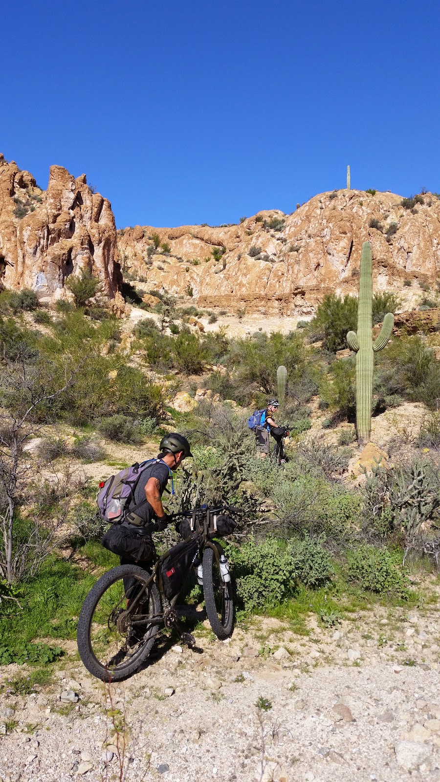
Phil had recently scouted a dirt road connector from Peralta rd (near the terminus of Outer Limits) over towards Queen Valley cutting out a rather drab powerline route. This would be a perfect opportunity to check it out firsthand.
A brief climb to a saddle led us to the first of two sort of steep loose descents. I'm fairly positive I'd have to HAB these going the opposite direction.
 |
| One of the steep downhills. EV. |
 |
| Most of the connection was like this. |
This jeep road had me thinking, I felt this route needed a better name. The Salty-Gila Tour was ok, but we only catch a brief glimpse of the Salt River, while most of the ride is in Gila country. I wanted something queen related, I live in Queen Creek, the route starts / ends there, we cross Queen Creek proper along the AZT and ride through Queen Valley. Over the next day or so I settled on the
Queen's Ransom route, little did I know what that ransom would be.
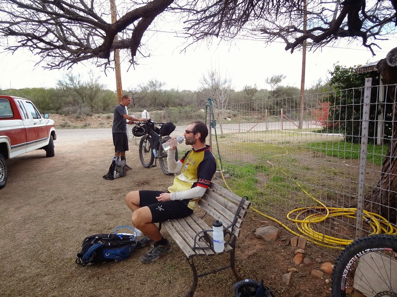
We rolled into the retirement oasis of Queen Valley ready for something cold to drink. The guy working the snackbar was clearly out of his element. He couldn't read the credit card machine without his glasses, so I just rang myself up.
 |
| Cold drinks & shade!! |
We cruised by Fitz Stop to top off water and get ice before making tracks to Hewitt Station rd. This piece of dirt road must be heaven to target shooters, tons of them out blasting away into the hillside. At least everyone we encountered seemed to be shooting responsibly, that's not always the case.
 |
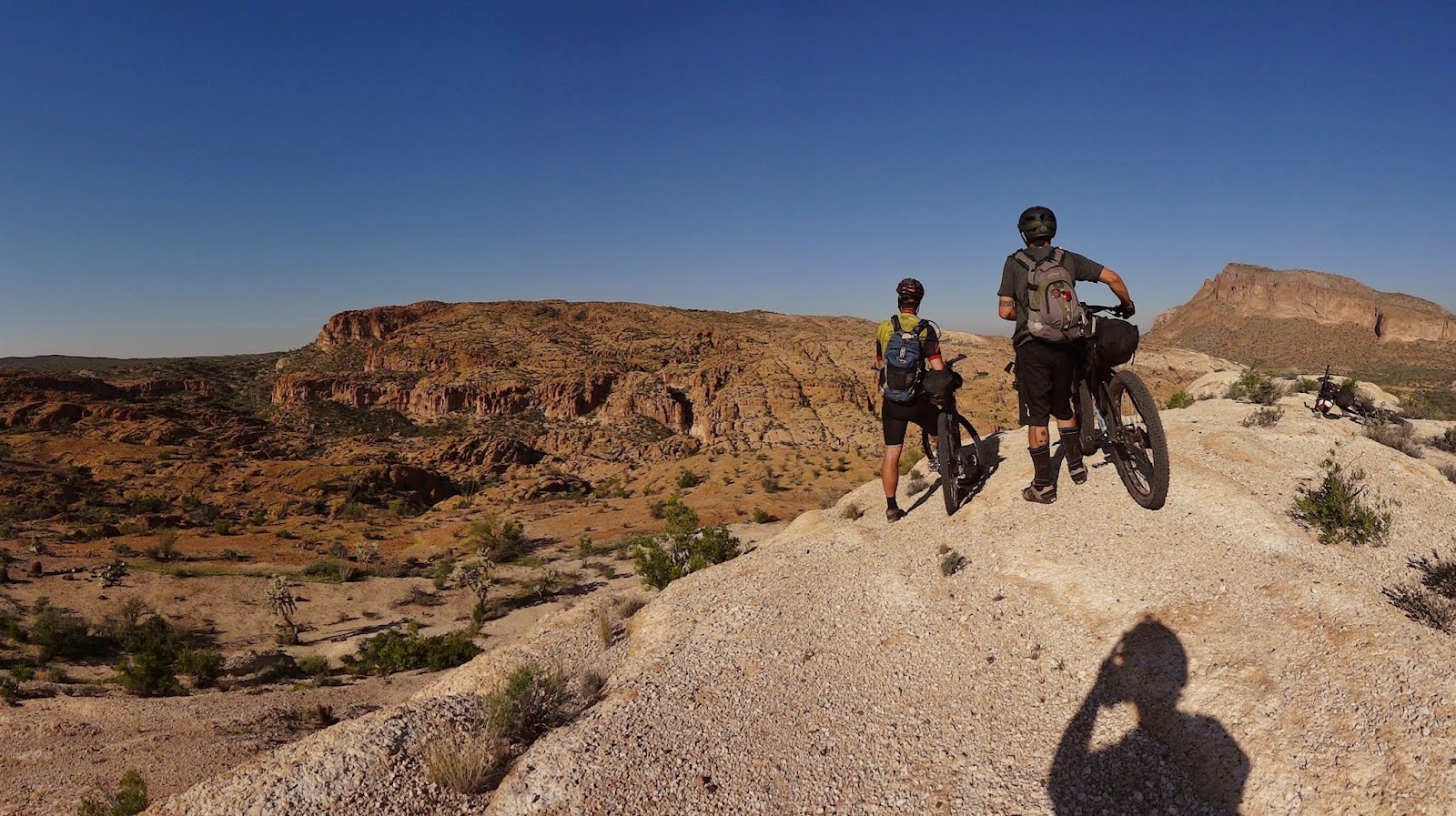
| Picketpost Mtn. finally getting close. |
 |
| US60 & the Apache Leap. |
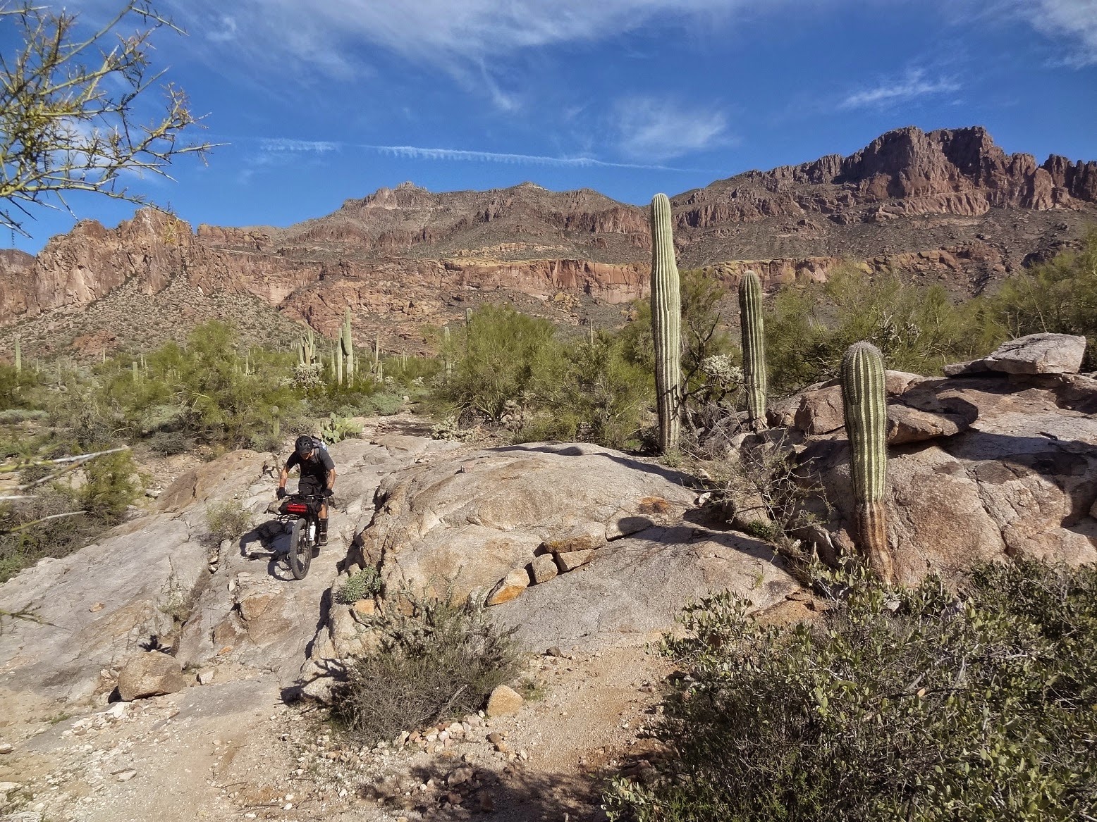
It was already well into the afternoon by the time we reached Picketpost trailhead. The original plan had us camping down by the Gila River, but that's the joy of touring a route. There are no set plans. We plodded along at our Team Photo pace captivated by our surroundings.
 |
| Steady climbing ensued. EV. |
 |
| The trail was in primo condition. |
 |
| Chris enters a drainage as Picketpost begins to shrink from view. |
 |
| The Voodoo soaking up the vistas too. |
 |
| I think I was 3 of 5 on the switchback challenge. EV. |
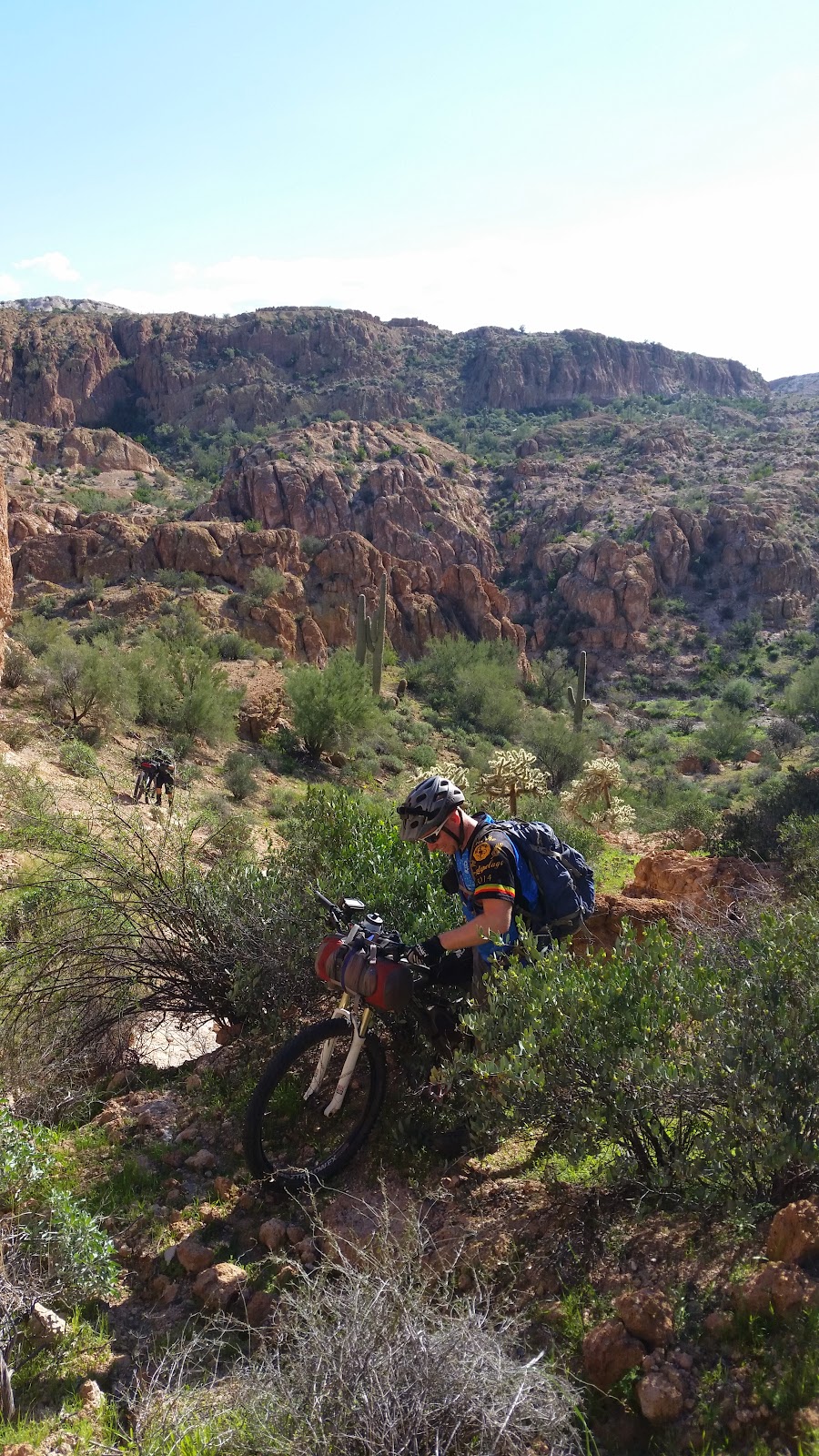
We revised our camping strategy as sunlight waned. We would now shoot for the 14 mile saddle on the south end of Martinez Canyon. I felt a little bad for Chris, since this was his first time through here and we'd now be traversing Martinez at night. I reminded him to take it all in the next morning!
The saddle is rather rocky, but Evan & I managed to find a couple of flat open spots just off the trail. We watched Chris's light hover along the canyon wall for a few minutes before he joined us. We convinced him to set up his tent on the trail, no one will be coming through here tonight!
Day 3: Gila River Canyons & Beyond
Daybreak came with overcast skies and two hikers going northbound! A good laugh was had as Chris tried to move his stuff out of the way, but the hiking duo didn't mind. An older couple out section hiking the AZT, but they were doing a big section, like 1/3 of the state! Their trek started southeast of Tucson and was culminating up near Roosevelt Lake. So cool.
 |
| Camp 2. EV. |
 |
| Breakfast with a view. |
 |
| A wonderful 1/2 mile traverse between two saddles. |
 |
| Places like this make you feel alive. |
 |
| Find the trail hugging the walls of Martinez Canyon. |
 |
| Panoramic HAB. |
 |
| At times it feels otherworldly. |
 |
| One last little rise in the trail until.... |
 |
| THIS! The beginning of a 7 mile descent to the Gila River. (Almost all downhill!) |
 |
| Fairydusters in bloom. |
 |
| Our first rays of sunlight poke through. |
 |
| We are so fortunate to have access to this. EV. |
 |
| We came across a freshly downed Saguaro each day, sad. |
 |
| Humbling. EV. |
 |
| Our descent started higher than Dale's Butte. EV. |
 |
| There's a great camping spot here too. |
 |
| The sheer cliff walls give way to softer hills. |
 |
| See that mesa on the horizon? That's Area52 & camp 3 a long way around. EV. |
Down at the Gila River we met a young couple from Durango in the desert for a few days of bikepacking. There was another couple from North Carolina heading farther south on the AZT. Word has gotten out, this is the place to be in the cooler months. Water topped off, snacks devoured, we hopped back on the AZT over to Kelvin.
 |
| A favorite Gila view from the trail. |
 |
| Evan negotiating a tough switchback. |
 |
| Oh yeah! |
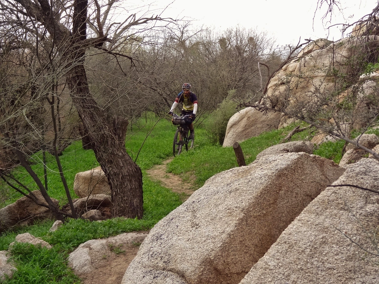 |
| Plenty of grassy Mesquite groves dot the trail along the river. EV. |
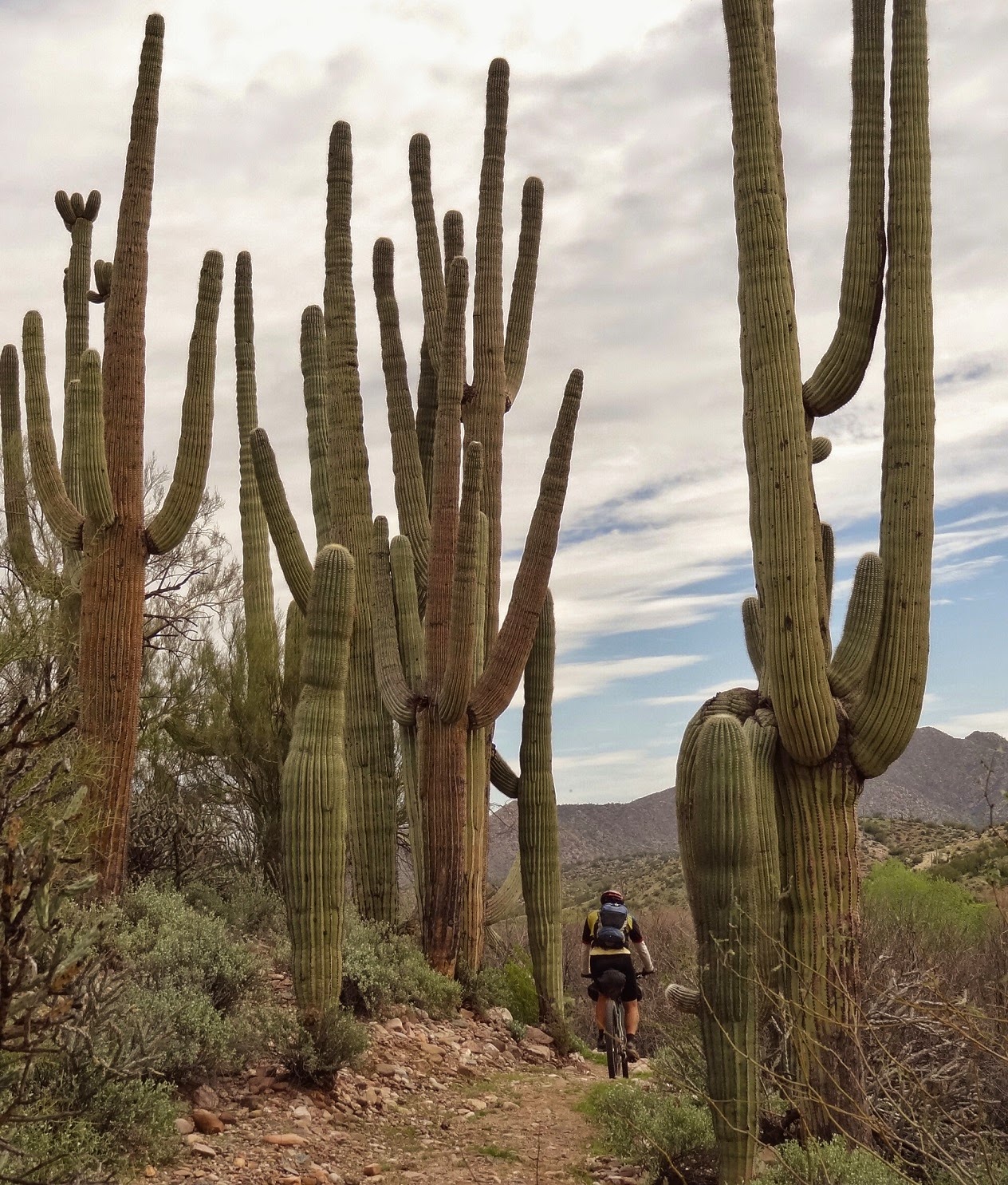 |
| Some of the tallest Saguaros anywhere. EV. |
 |
| Get it Chris!! EV. |
 |
| The wildflowers were beginning to pop as we neared Kelvin and the Ray Mine. |
 |
| A fair amount of winter rains & warm temps brought out the early color. |
 |
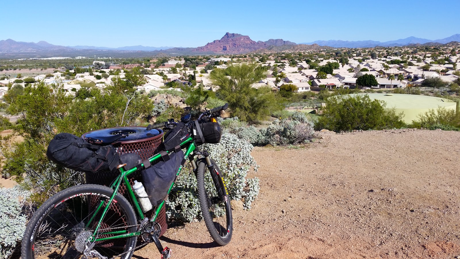
| My setup for the AZTR750 for the most part. |
 |
| Late lunch break at the Wilson trailer court in Kelvin. EV. |
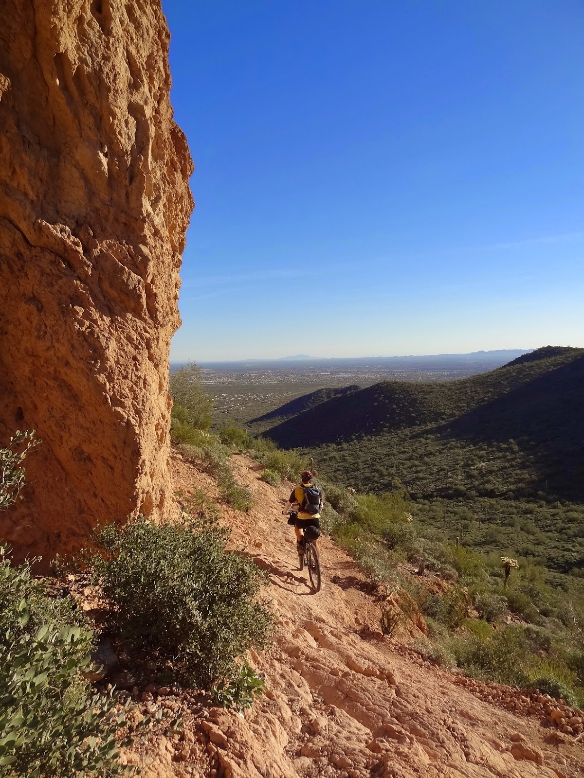
I typically don't care for the two miles of trail from the river up to the official AZT trailhead at Kelvin. The switchbacks are tight, off camber and all too often filled with kitty litter. It's akin to riding on ball bearings. This day things couldn't be more different. I'll credit three things, the loaded bike has the weight to stick to the trail, fresh tires to grip the slippery stuff and I'm just a badass rider. No? No. I installed a new cassette giving me two extra teeth in low gear. Spin, spin, spin away!! I cleaned all but one switchback, first time evah! Evan had an equally impressive climb too, we were stoked. Almost to the point where I didn't mind the upcoming slog on the Florence-Kelvin Hwy - a 4.5 mile dirt road grind.
I crested the climb first and waited a few minutes for Evan to appear. He was glad to be done with it. We both knew Chris would have a tough go on the climb, his bike easily weighed over 55lbs. He enthusiastically gave a high five at the top, well done sir!
 |
| Evan reachimg the top before the only car we'd see all day! |
 |
| Looks like a third dose of night riding. |
 |
| The look of a happy rider. |
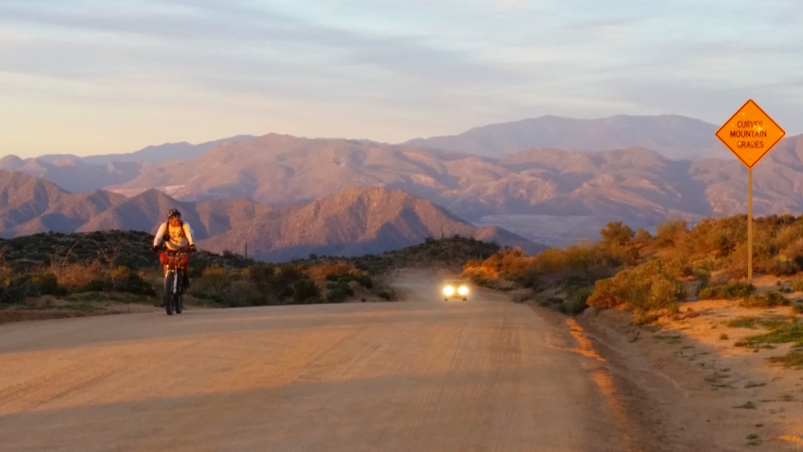
Once again we transitioned into night riding mode. We didn't have far to go, almost all downhill on uncharacteristically smooth jeep roads. Chris's light was getting low on power, so we kept it mellow on our descent towards Area52.
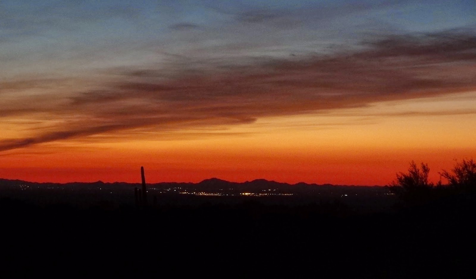 |
| Lights of Florence beneath a fiery glow. EV. |
 |
| Cool dusk shot by Evan. |
At one point during our descent I recall peering into the vast darkness of the Gila River Canyons, which were now far to the north, and seeing a lone LED on the AZT somewhere near our previous nights campsite. It was a cool reminder of the terrain we covered during the day. Only a few miles 'as the crow flies', but over 40 trail miles away!!
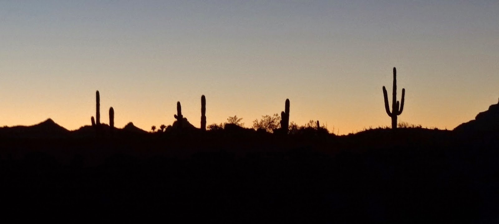
On our approach to Area52 the track zigzagged a bit through a couple of sandy washes. We were off the bikes walking up a wash looking for a good camping spot. We located one tucked behind some trees just off the wash where the ATV'ers were still playing around. The light layer of clouds gave way to clear starry skies, a perfect way to drift off to sleep.
Day 4: Area52 & A Most Unfortunate Decision
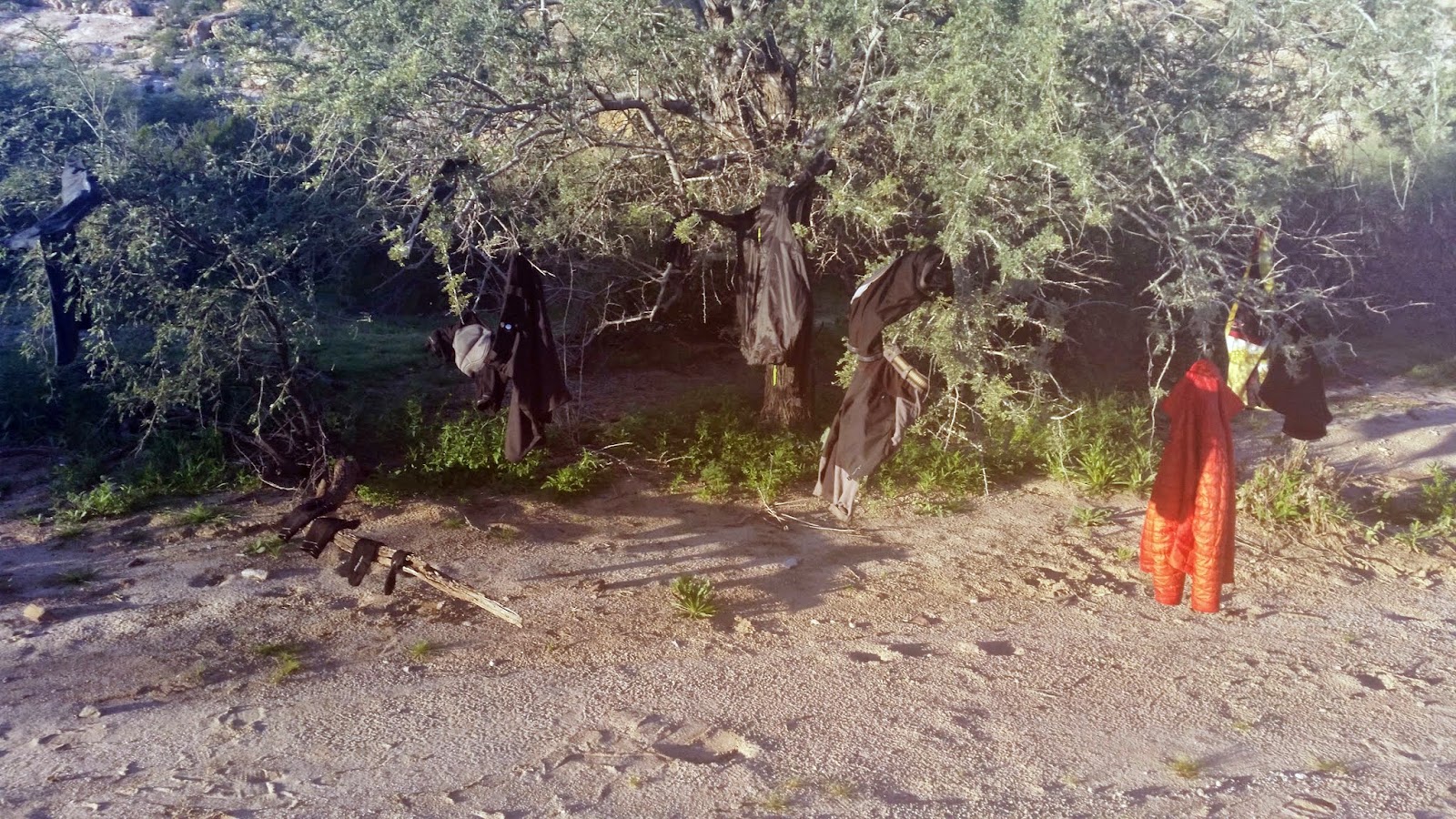
The morning dew had crept into everything we had, gear soaked, we began hanging our stuff to dry in the early morning sun. We took our time getting packed up, as this day would be the easiest. We'd explore the freeride spot known as Area52 then ride mostly flat dirt the next 60 miles back to my house.
 |
| Camp 3. EV. |
 |
| Just hanging out. |
The track I had through this part was a known good route from
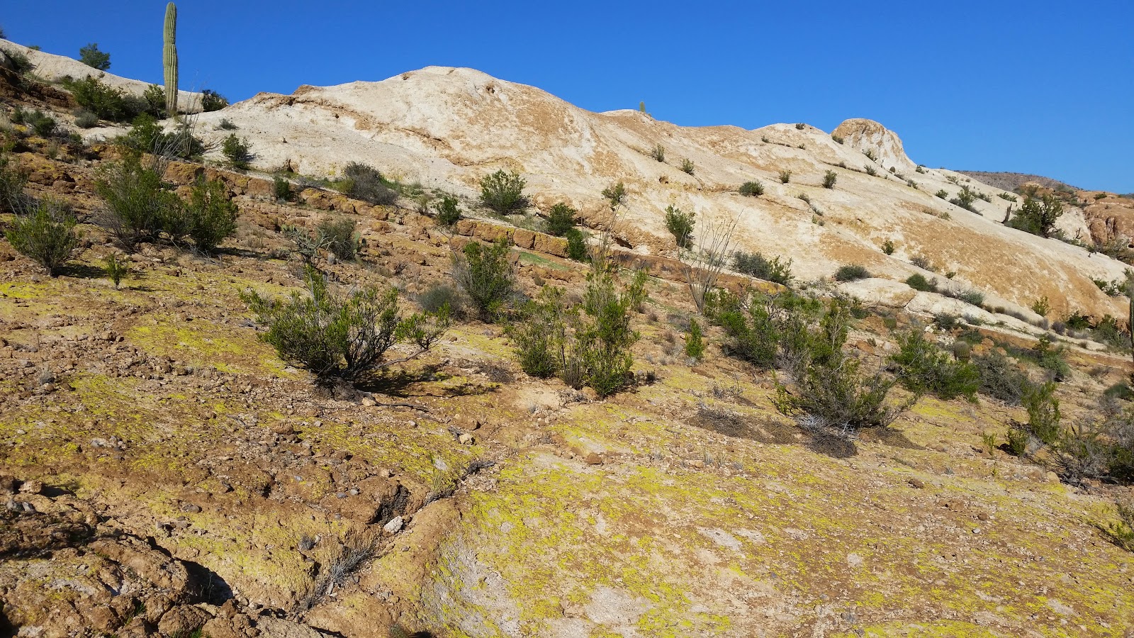
Scott. Most recommendations are to have someone familiar with the area tag along your first time through, but I've come to trust Scott's GPX routes even when the terrain may suggest otherwise. Our first hurdle was getting up out of the wash onto the rock monolith. We eventually found safe passage and HAB'ed up the initial slope.
 |
| Area52's moonscape. |
 |
| Gila River Canyons view. |
 |
| Plenty of ride lines here. |
 |
| Picking my way through the sea of rock. EV. |
 |
| Trying to envision our way up there!! EV. |
 |
| Chris riding a slice of Heaven. |
 |
| This wash separated Area52 in half. EV. |
 |
| The wash was more than rideable. EV. |
 |
| Looks like we go this way?!? |
Our HAB up this side canyon started innocently enough. Dodging cholla early on, then the terrain kicked up....and was overgrown...and loaded with cactus!! This was by far some of the most difficult HAB I have ever done. The most bang for your buck so-to-speak over a relatively short section. I reached the top, but had to retreat down to Chris. His heavy bike was a two man job for a few obstacles!
 |
| Not bad here... |
 |
| Hmmm. |
 |
| I really like to point at things!! EV. |
 |
| Evan nears to top. |
 |
| Chris & I hoisting the behemoth. EV. |
Thankfully, we were rewarded with the age old HAB motto: 'If you're not HAB'ing, the views probably suck!' We were greeted by a U-shaped overlook with water filled tanks in the rock. I could only imagine the spectacular sight of a thunderstorm fed deluge and the resulting waterfall over the cliff edge we were now perched atop.
 |
| Cliff edge by a series of pools. EV. |
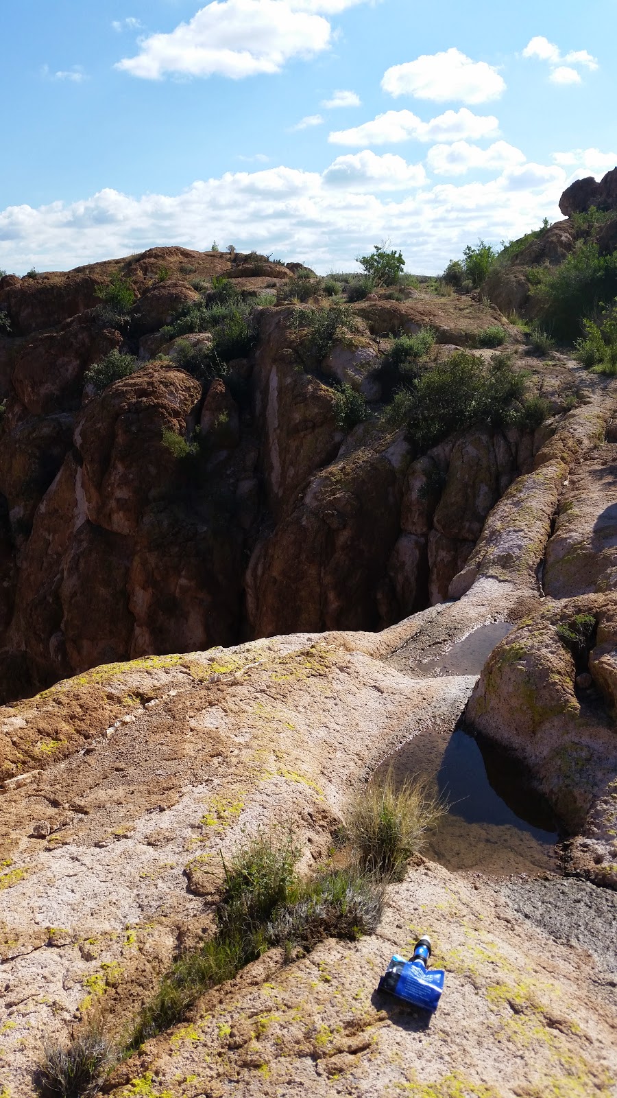 |
| The pools were an added bonus. |
 |
| Peering into the bowl, a lush micro climate tucked away beneath the cliffs. |
 |
| We took advantage of our surprise find. EV. |
We left our oasis in the sky and found the terrain opening up more than the first half. As before, the scenery was stunning and the riding really good.
 |
| Freeride!! |
What transpired next can only be described as stupid. One moment the ride was going perfectly, the next instant all my upcoming plans had potentially changed.
I started riding down a rock spine, it was flowing rather nicely. I came to a medium sized drop-off, nothing crazy, but enough to make me stop, which I did. I stood there, unclipped, over the top tube and opted to NOT fully dismount to walk down the ledge. I stayed straddled and began rolling over the lip..uh oh. Naturally, the bike wanted to go ass end up and I was caught in the middle unable to clear myself from the handlebars. I stumbled forward at least 15 feet trying to catch my balance. I finally lost it, putting my right hand down hard on the rocky surface as I anticipated the pain my left hand was about to endure. I saw the cactus coming and couldn't avoid it. The spines crunched as my hand pressed into it. I rolled over and took a cholla to my left shoulder before the bike finished me off. WTF just happened??
 |
| Pulling cactus spines out of my hand. The one closest to the front tire was the type I landed on. EV. |
The cholla damage was minimal, but I had 20-30 spines embedded in my left hand. I was able to work the glove free and remove all the large ones, but many others were under the skin. My right hand was beginning to stiffen and I had a sneaking suspicion it may be bad. I was able to adjust my grip slightly without too much discomfort in order to ride out of there. I wouldn't be able to enjoy the rest of Area52 like I had hoped, but I also knew the remainder of the route was relatively easy spinning...all 60 miles of it. Time to get moving.
 |
| Felt like petrified sand dunes. |
 |
| Small arches tucked into the mini hoodoos. |
 |
| Every so often we'd spot some other tire tracks. |
 |
| South Butte towers above. EV. |
 |
| Nearing our exit, Dale's Butte is the lone shadow in the far right. |
 |
| These random boulders reminded me of Death Valley's Racetrack Playa for some reason. |
We finally exited onto the jeep bypass route. A short HAB ensued before a lengthy downhill on sandy terrain brought us near the Gila River once more.
 |
| Gloves ditched, we push. EV. |
 |
| Canopy of green near the Gila. EV. |
 |
| A few small climbs kept things interesting. |
 |
| A seemingly endless supply of offshoot options. |
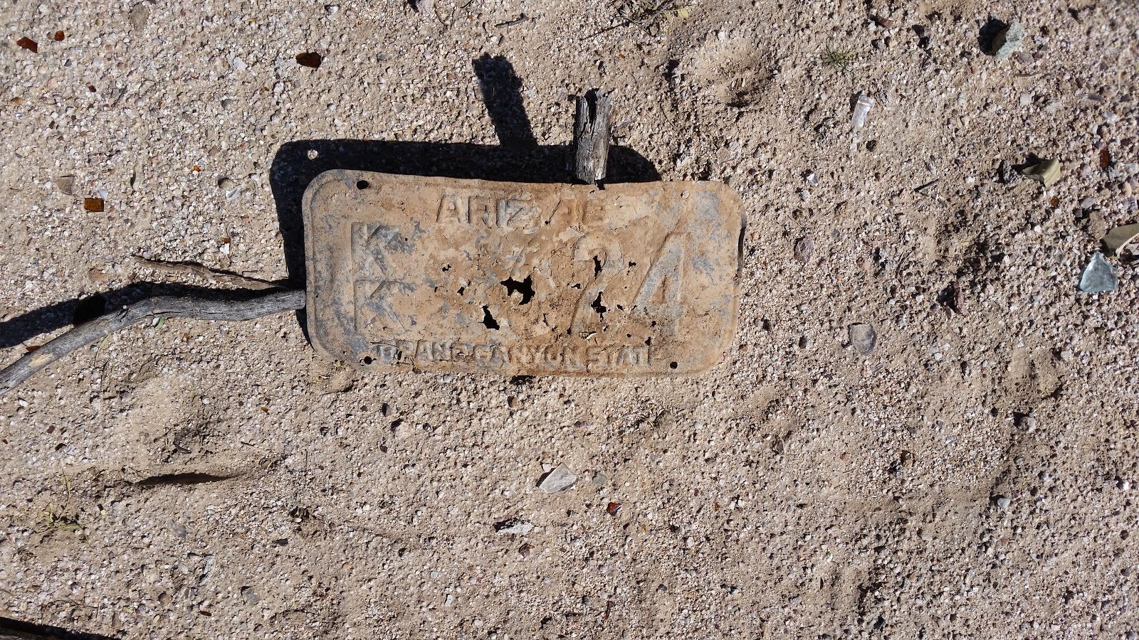 |
| A slight routing snafu and you never know what you'll find in the desert. 1948 AZ tag. |
 |
| Along the banks of the tamed Gila River. |
 |
| South Butte grows distant. |
 |
| Crossing at the gauging station. EV. |
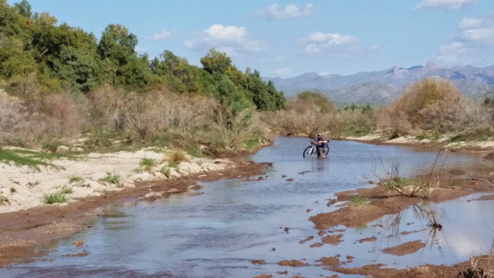 |
| An unexpected water crossing before reaching Florence. |
The day had grown warm, we were ready for some cold drinks and food. The golden arches were an easy choice for instant calories. My phone had just died, so no more pics from me. We departed Florence around 3pm, still some 40 miles to go. I knew we'd finish in the dark once again, but hoped we'd make it to the San Tan trails before nightfall.
 |
| Poston Butte. (old pic) |
 |
| Not much to see on this part of the route. EV. |
 |
| Follow the fenceline north and skirt an abandoned housing development. (old pic) |
 |
| Another route snafu, a private property closure diverted us onto some pavement miles over to San Tan Regional Park. (old pic) |
 |
| We arrived at the trailhead just as the final rays of light were fading away. (old pic) |
 |
| A 1/2 mile HAB up Rock Peak Wash ensured us we'd do more night riding in the park. (old pic) |
As we came to end of the wash I saw my buddy, Arturo. He came out to ride a bit with us on the fun, fast trails of the park. He was all giddy being on a singlespeed and led the charge north. He also loaned Chris a reliable set of lights to finish on. Much appreciated!! Now, about those cold drinks you didn't bring...sheesh.
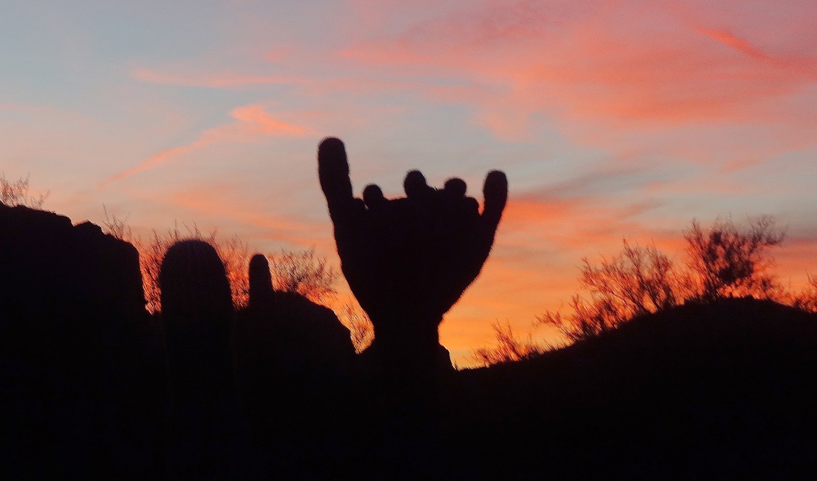 |
| Shaka cactus upon our arrival. EV. |
 |
| Here in full daylight. (old pic) |
I was resigned to a slow steady pace watching the other's lights ahead. We regrouped on the final saddle for a toast to a ride well done (for the most part!).
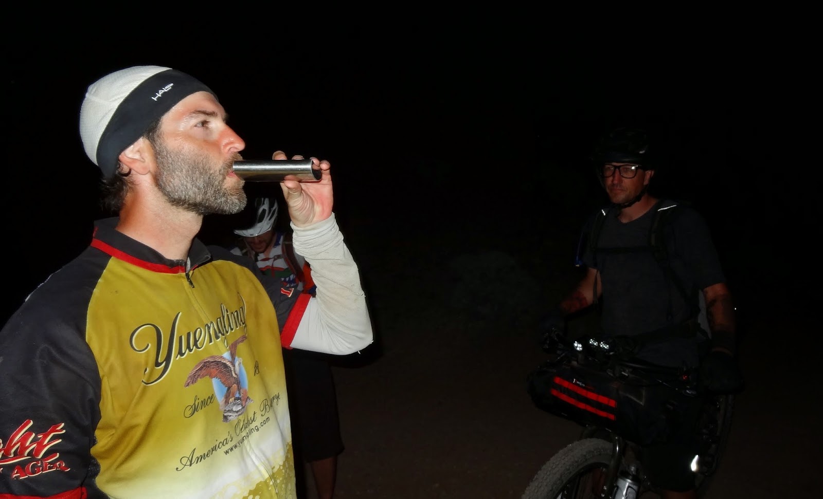 |
| I carried that flask for 220 miles, I better take a swig. EV. |
 |
| A tired threesome, 7 flat paved miles from the finish. Photo by Arturo. |
I want to thank Evan & Chris for making the long drive over from Cali to join in on this bikepacking ride. It really was a blast. A few more minor tweaks and this will be dialed in.
I was really pleased with my dynamo setup. Having plenty of instantaneous light available, even at HAB speed, was a real surprise. My Garmin Edge705 never went below 100% charge the entire 4 days!! It wasn't charging from the hub at all times either, only at speeds above 4.5mph. I did have to silence the beep, warning me that external power was lost/gained. I wish I would have remembered to take my cell phone charging cable. I'll have to test that out soon.
Until next year...
Two days after the ride my right hand ballooned up prompting a visit for an x-ray.
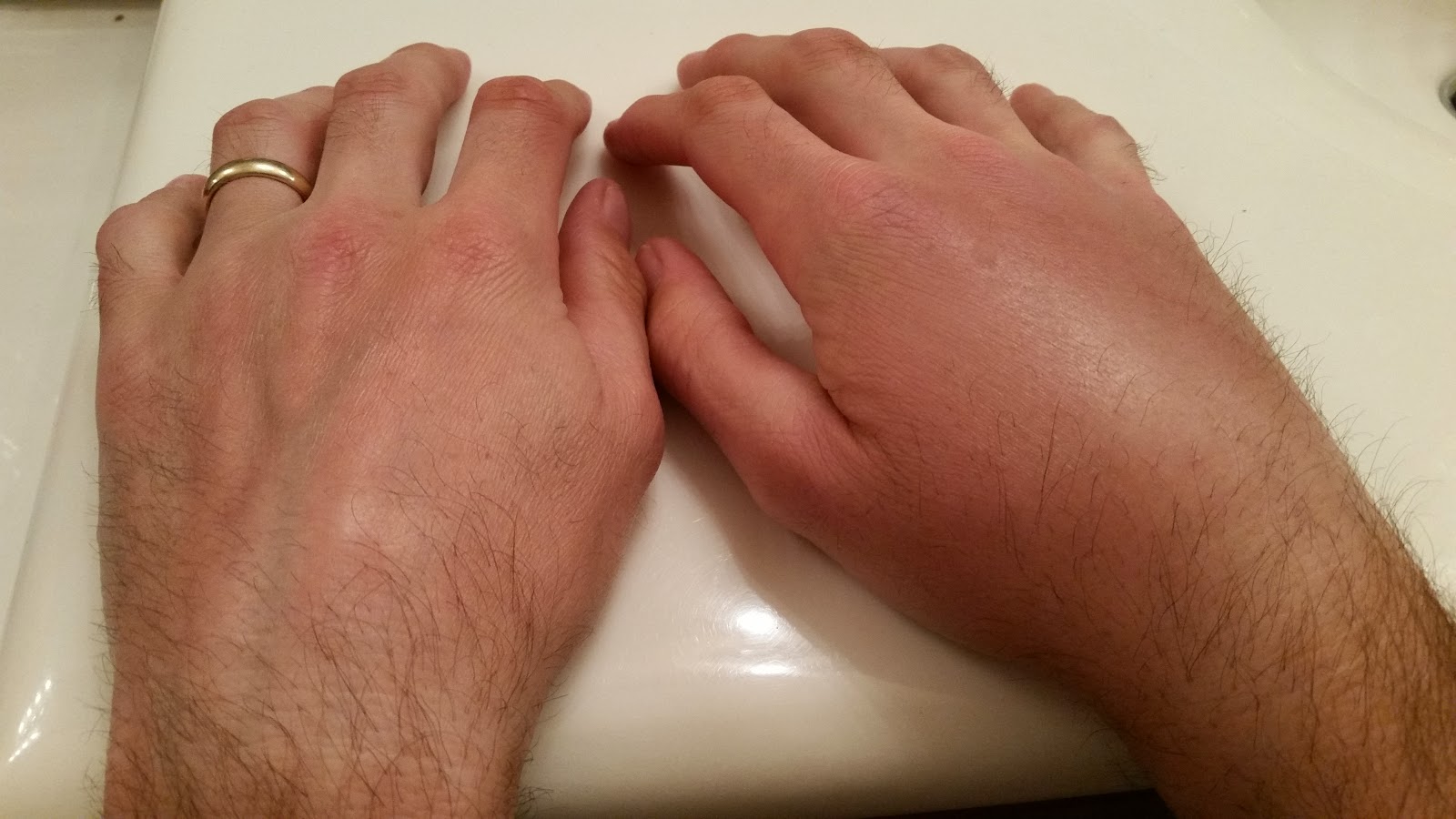 |
| X-ray came back negative. My hopes still alive for the AZTR750 in April. |
All the
pics here:
 |
| Going forward, all Queen's Ransom finishers will receive one of these fine patches!! *All past year's finishers have theirs in hand!! |
 |
| Route profile can purchased as a poster, stickers or mug via Redbubble. |
Screensavers of the route profile may be found
via Payhip.


Great report. Glad your hand is okay.
ReplyDeleteIf you ride enough trails sooner or later you'll make a dumb mistake that seems so obvious afterwards. Riding a loaded bike and being tired/occupied with route finding just adds to the likelihood.
Good to see Evan. I had the chance to ride with him in BC last summer. Small world.
Good luck with your AZT plans.
-- Vik
Hi John,
ReplyDeleteI was curious if you had a GPS file of this route or a clearer picture.
I am traveling to Phoenix area in December and am looking for a weeks worth or riding. This looks like a great route that doesn't stray too far from civilization!
Let me know if you have additional recommendations.
Thanks,
Joe
Joe,
DeleteGlad you're interested in the route, it's a good one. Let me know if you have any specific questions. Here's the report from last year: https://schillingsworth.blogspot.com/2017/03/queens-ransom-17.html
I have the route uploaded to Trailforks, you can download the .gpx file there and see the water locations.
https://www.trailforks.com/route/queen-s-ransom-bikepack/